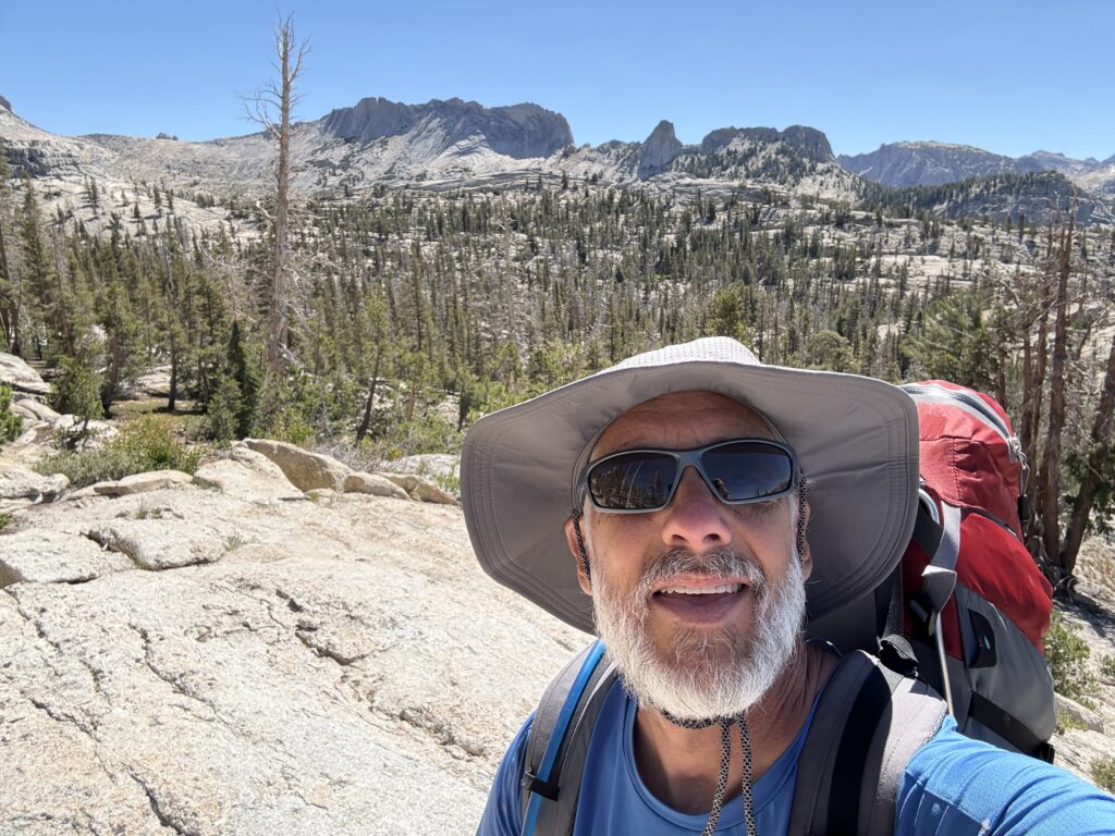
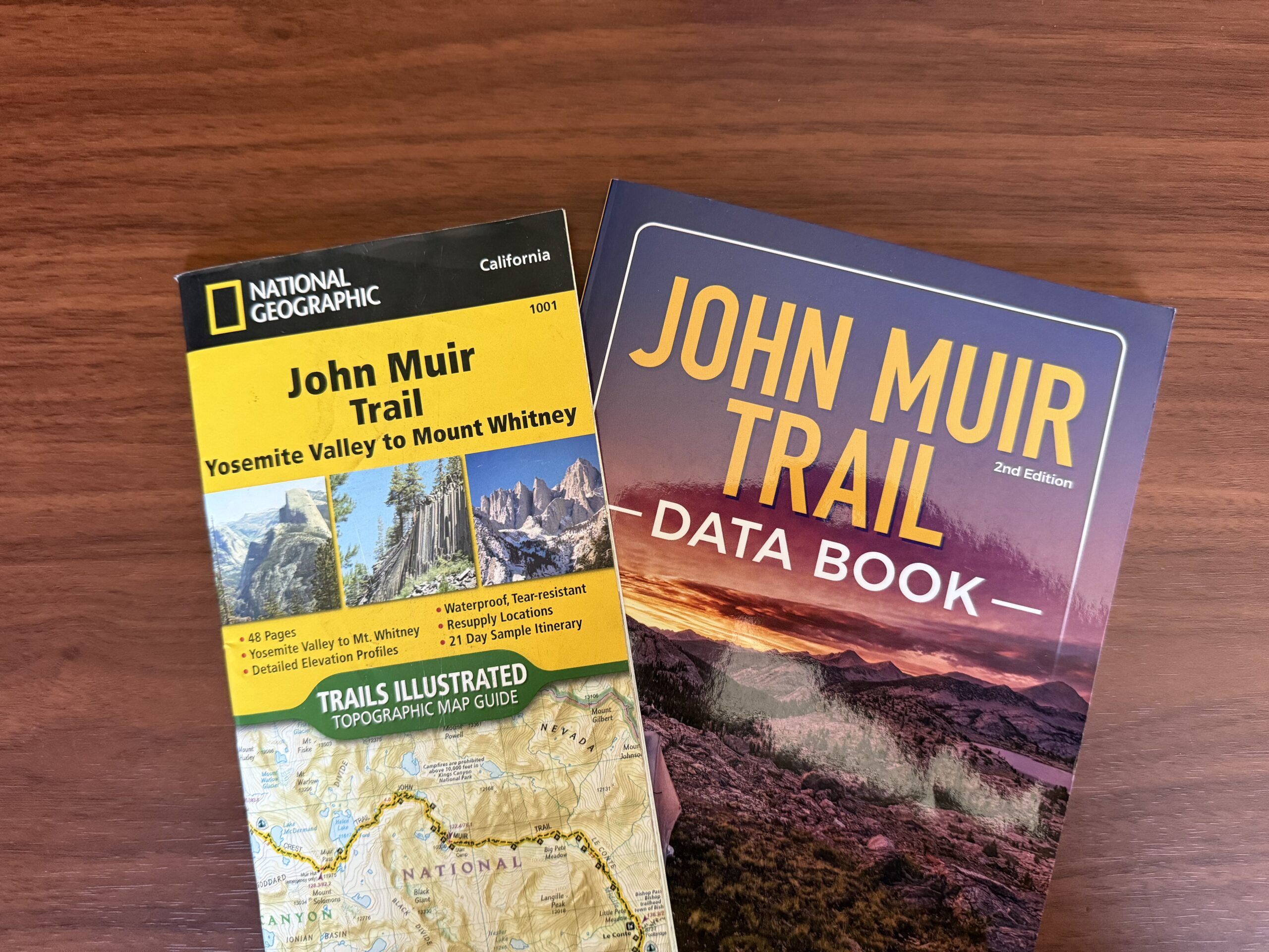
When we returned from our Southwest adventure, our neighbor, Jon, stopped in the driveway as GP was doing some yard work to ask about the trip. GP shared a few details including how much he enjoyed doing some of the hikes. Jon was excited to learn that GP enjoys hiking and invited GP to join him and two other friends on a backpacking trip in July. They were planning on finishing the part of the John Muir Trail that they had not completed in a prior trip. The target date to begin the trip was Sunday, July 7, with a goal of completing it by July 18 or 19. After looking over the plans for the trip and the calendar, GP decided to give it a go. GP’s summary of the experience follows…
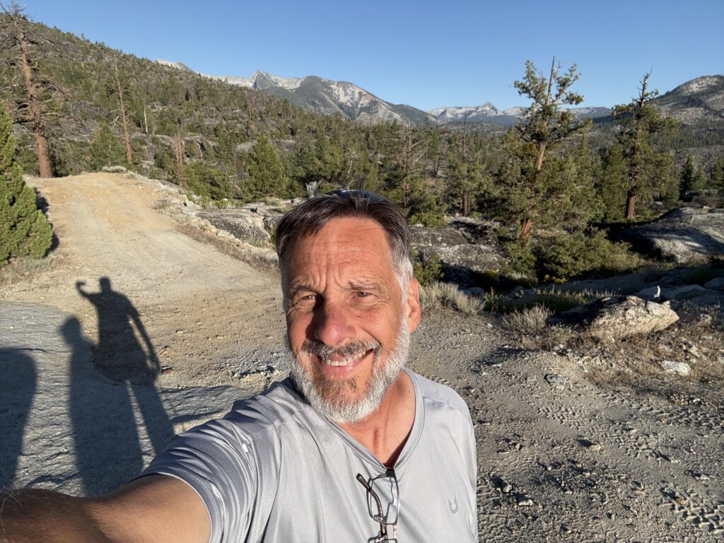
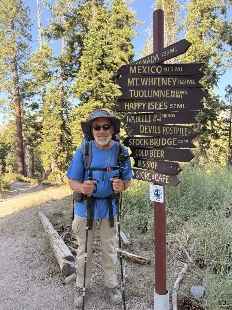
Ready to hit the trail
DAY 1
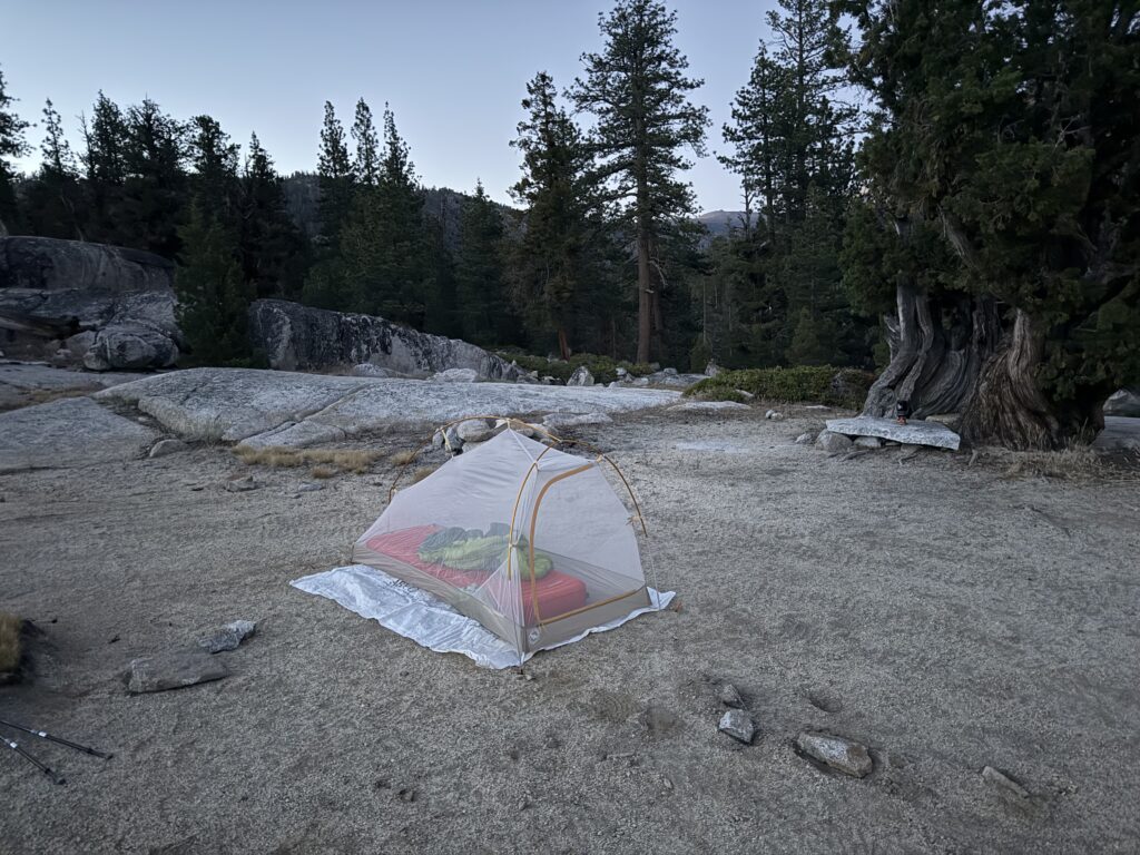
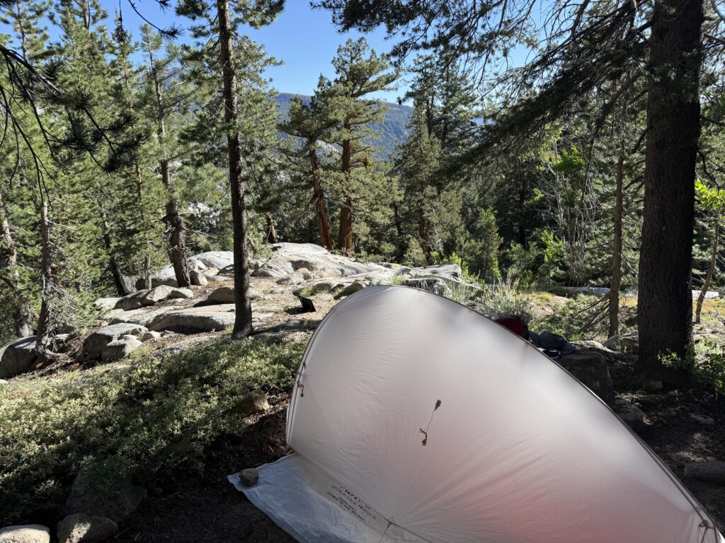
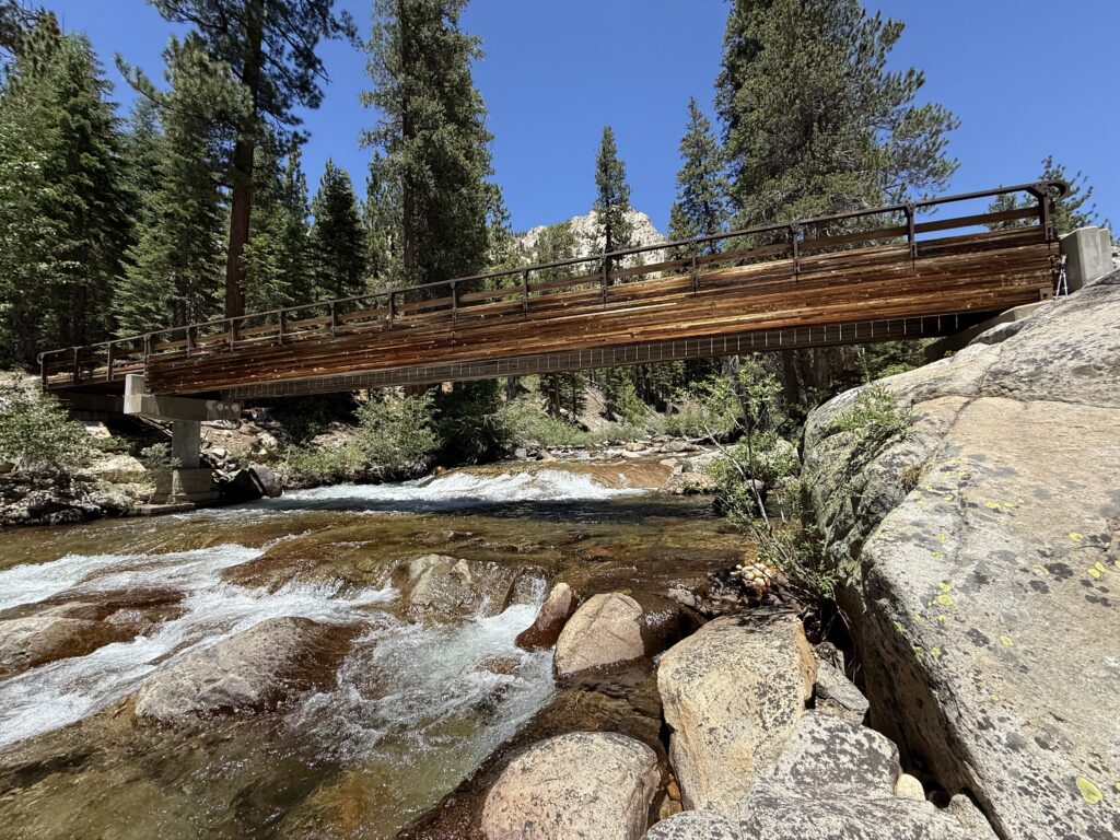
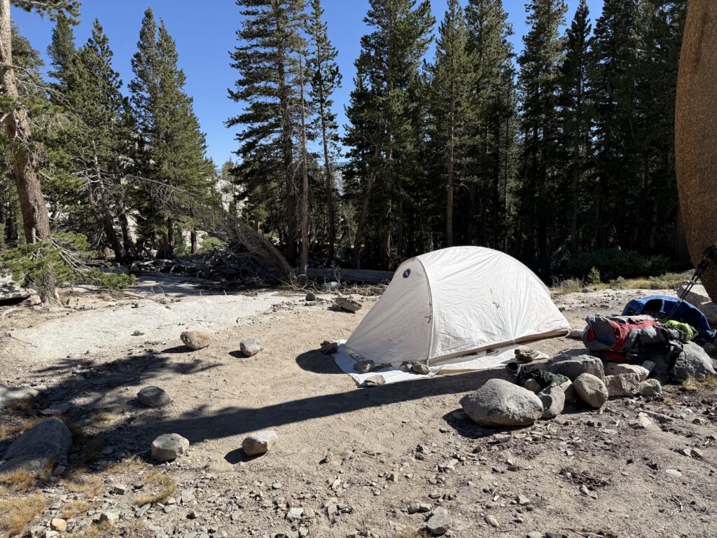
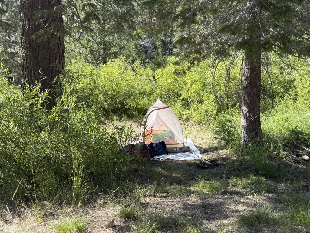
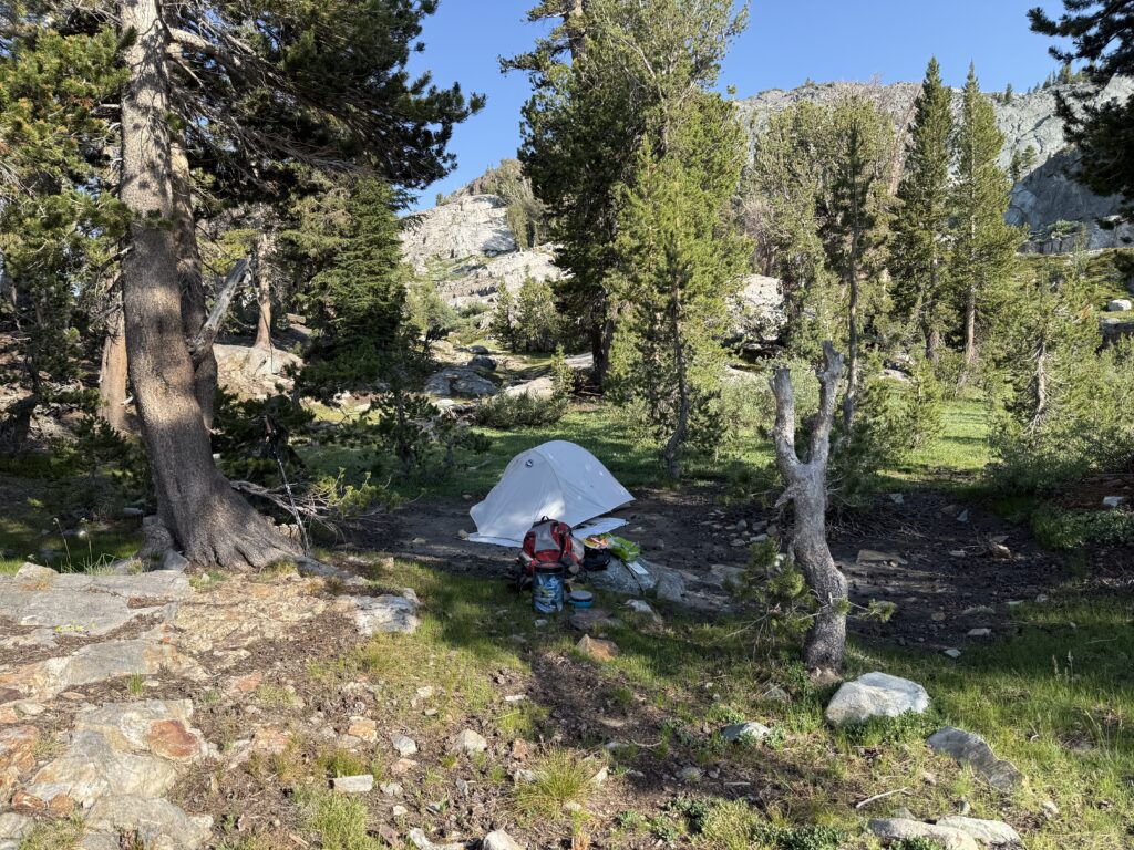
This day consisted mostly of driving. I left home at about 6:45am to head up to Arnold where I met Jon at his family’s cabin at about 11am. We drove over to his friend, Curtis’ home where we waited for Jim, the fourth member of the hiking party. Curtis’ partner, Maureen, was set to drop us off at the trailhead. The drive to the Bear Diversion Dam access road (just beyond Shaver Lake) took about 6 hours; we arrived at about 6pm. After being dropped off and getting the packs put together, we hiked about 2 miles along the road to the Bear Diversion Reservoir dam and set up our first camp. Lesson learned that night: even though the daytime temperatures were quite warm, it gets cold at night, especially with no rainfly on the tent!
First night camp
DAY 2
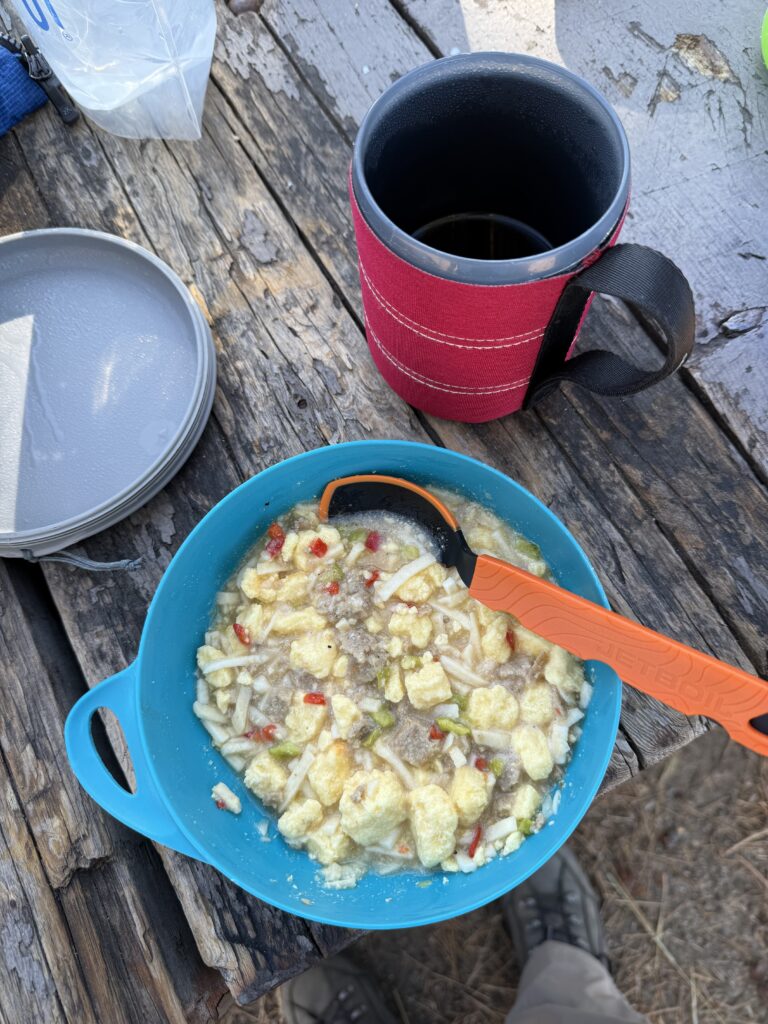
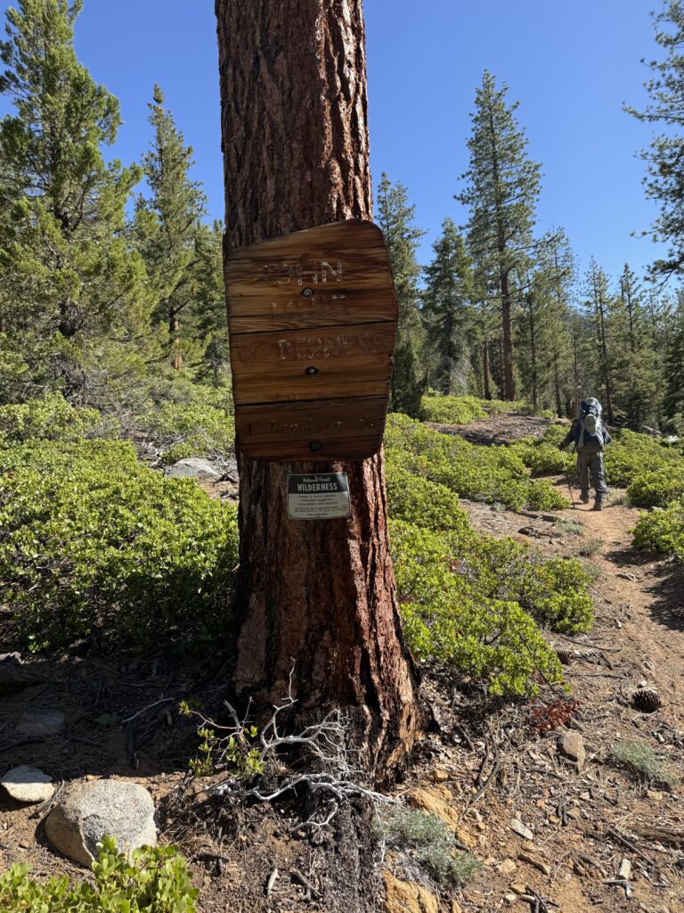
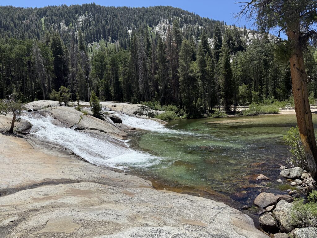
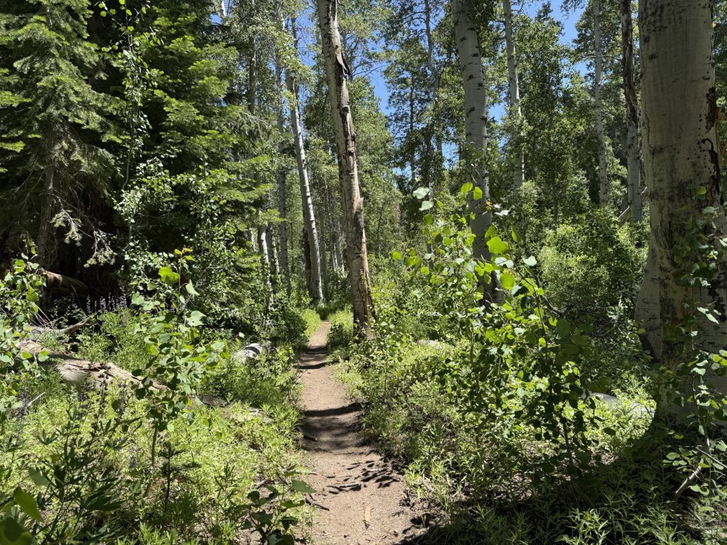
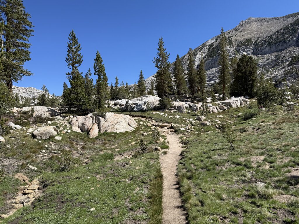
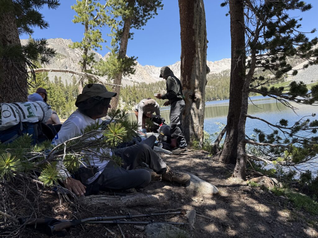
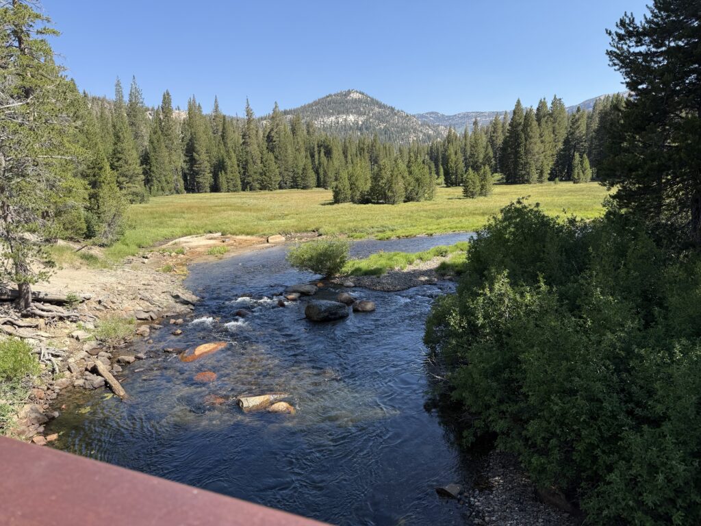
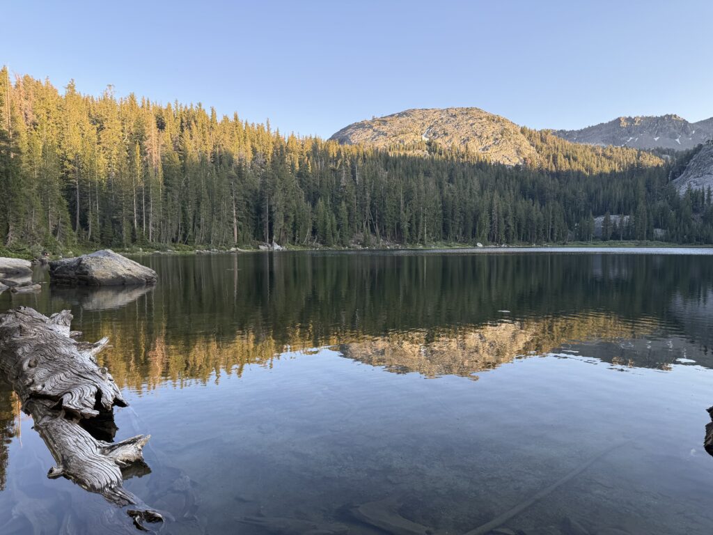
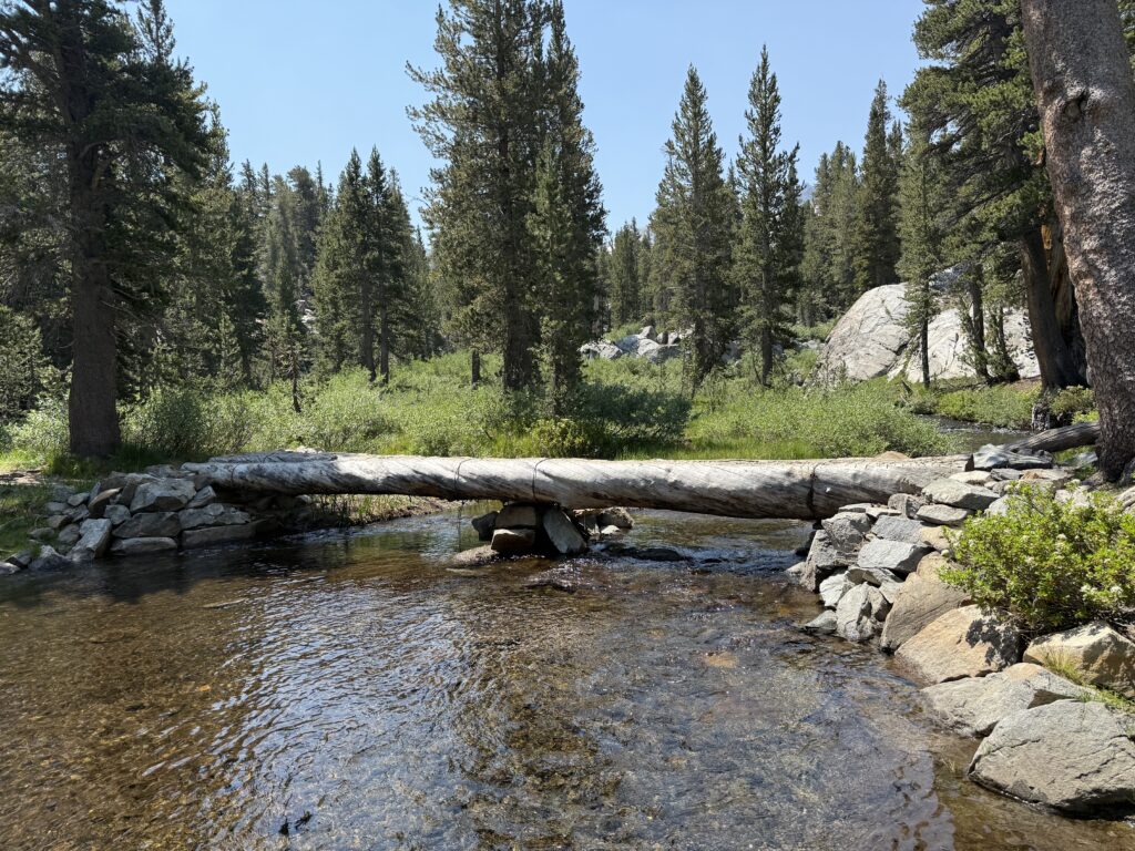
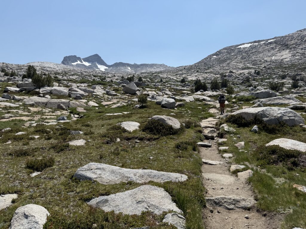
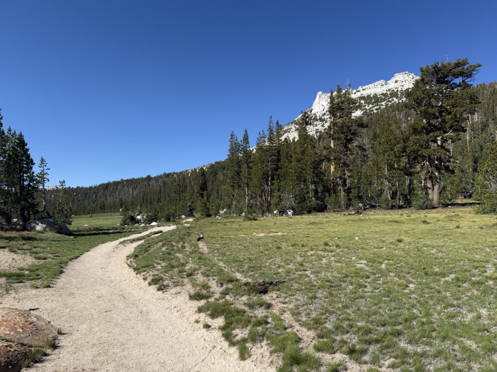
After the first breakfast of a freeze-dried scramble and a cup of coffee, we packed up and headed out. Today’s hike started with about 6-1/2 miles along the Bear Creek Trail. It was a fairly easy hike at first, following along Bear Creek. The creek has many beautiful waterfalls and several tempting swimming holes. Lunch stop was at Twin Falls where there are two waterfalls that pour into a large pool. We gave in to temptation and took a dip in the water. The afternoon presented us with a fairly steep climb before finally connecting with the John Muir Trail (JMT). We proceeded another mile and a half, or so, north and found a nice camp site near a small stream. Surprisingly, I had good cell service at the camp! Lesson learned that night: even with the rainfly in place, it gets cold at night; gotta wear more clothes to bed!
Breakfast
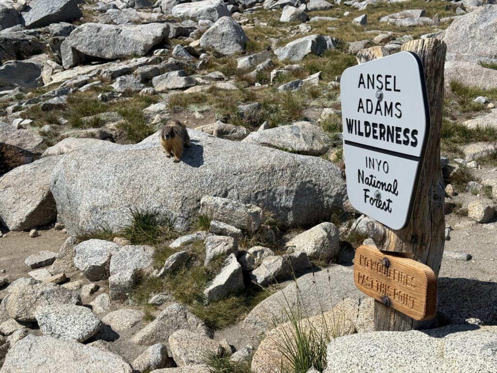
Entering the John Muir Wilderness
Lunch spot at Twin Falls on Bear Creek
Camp night two
DAY 3
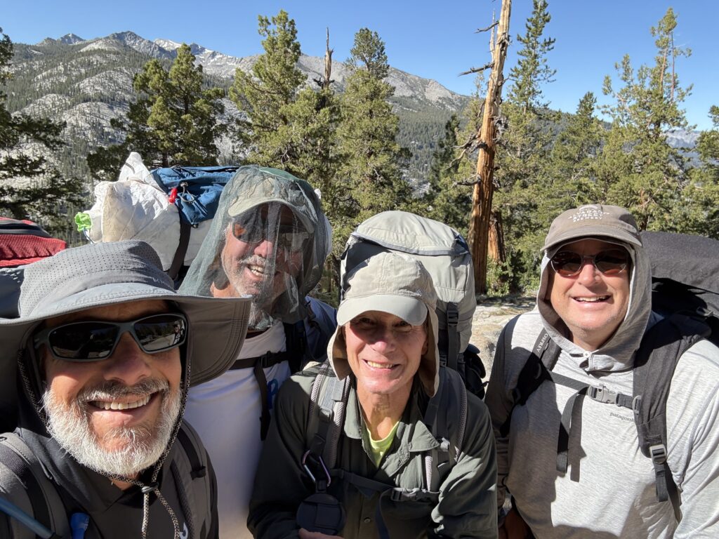
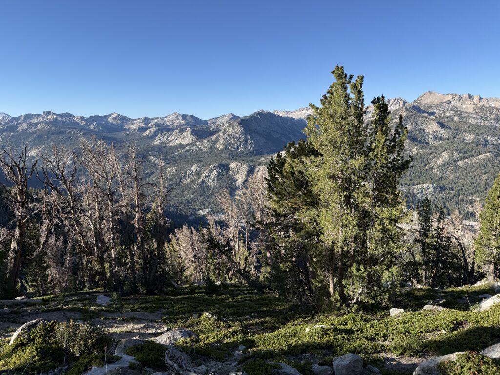
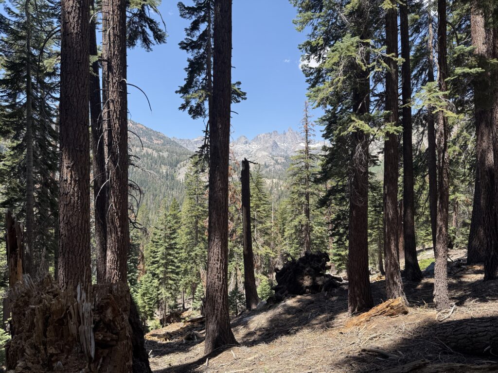
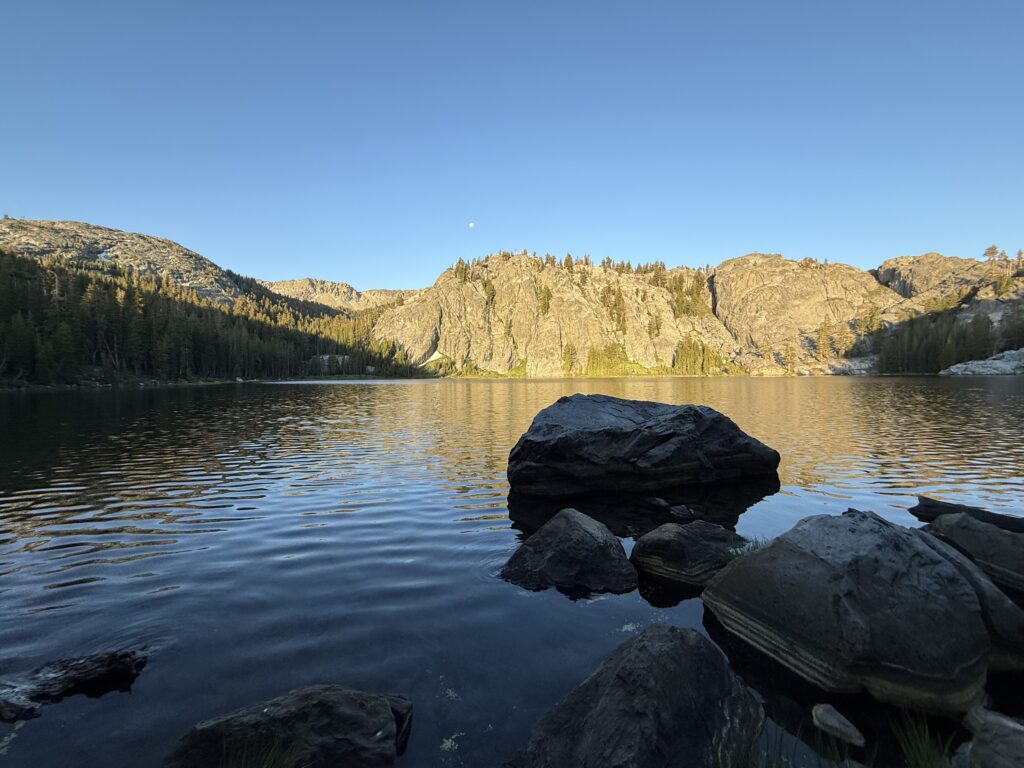
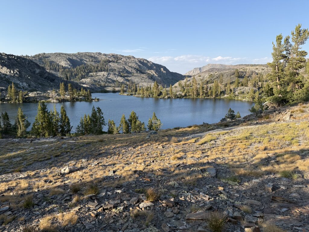
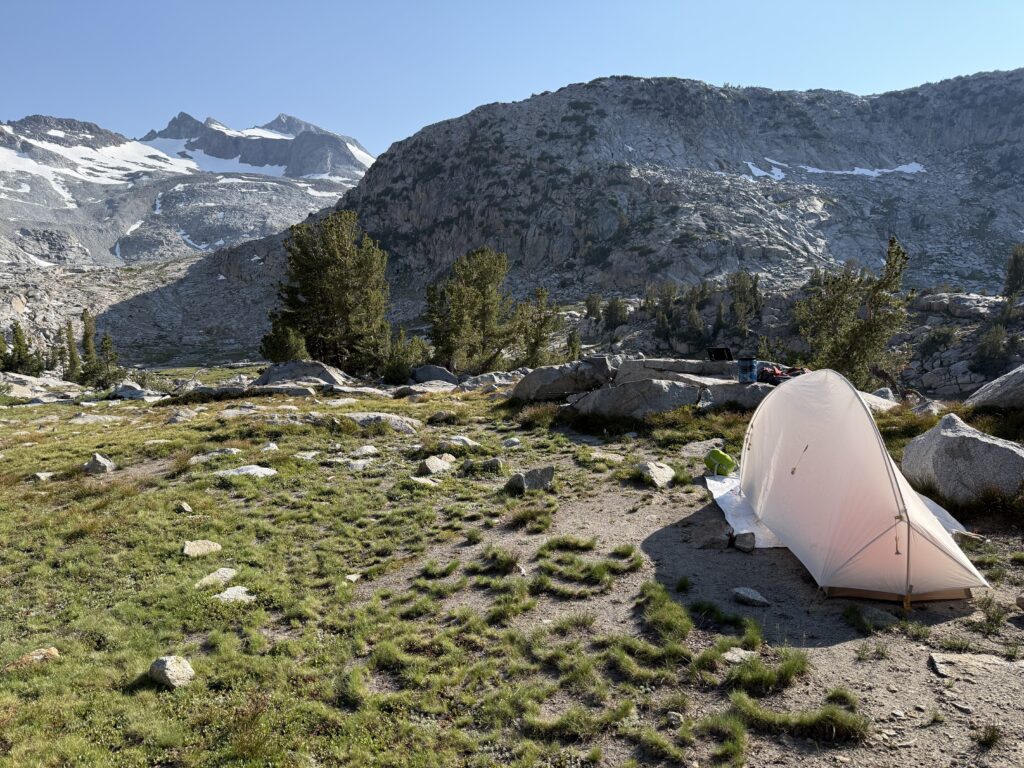
Today started with a good climb up to Bear Ridge for a bit over a mile. The trail flattened out passing through a nice, forested area before dropping down rather steeply to Mono Creek. At the bridge over the creek, we found a place to break for lunch. At this point we began the climb up towards Silver Pass. After rejecting a few campsites we passed in the valley, we pressed on and made the steep climb along Silver Pass Creek. As we crested the lip of the valley, we found a beautiful campsite near the creek right on a bluff overlooking the valley we had just hiked through. While it offered some spectacular views, it was rather chilly and had a constant breeze because of its exposure and being at just under 10,000’ in elevation. Fortunately, I was starting to figure out how to stay warm during the night.
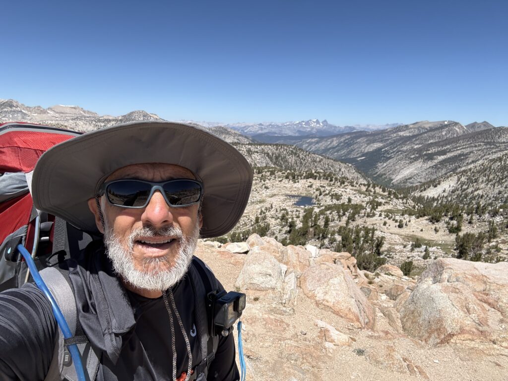
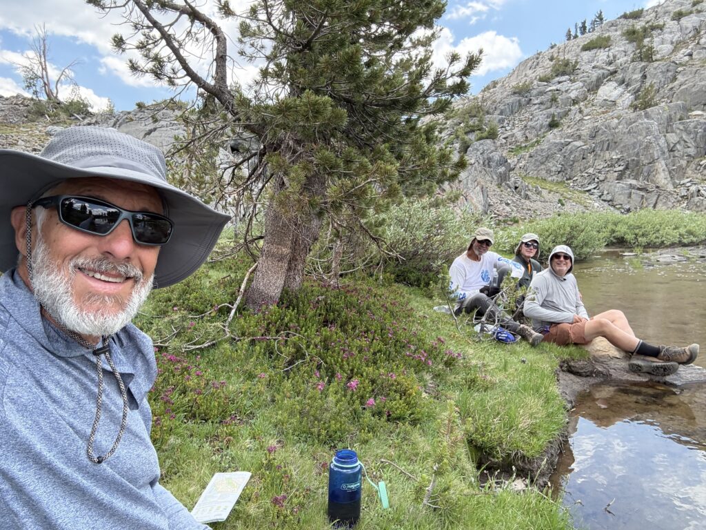
The crew (L to R: GP, Curtis, Jim, Jon)
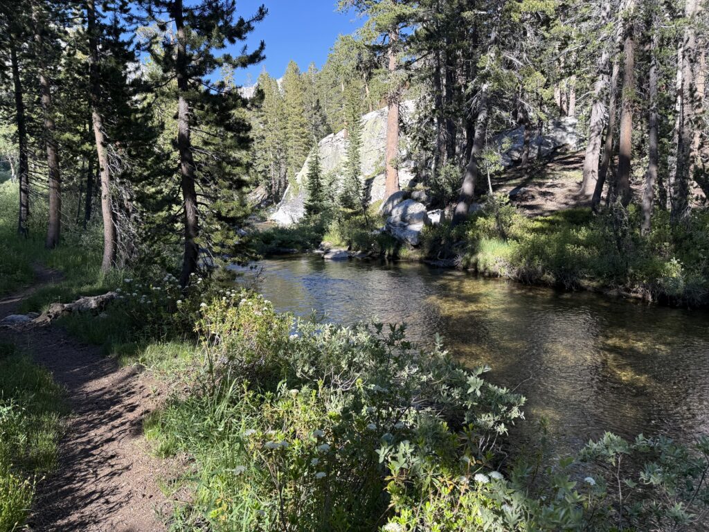
Trail in the forest (near Mono Creek)
Lunch spot at bridge over Mono Creek
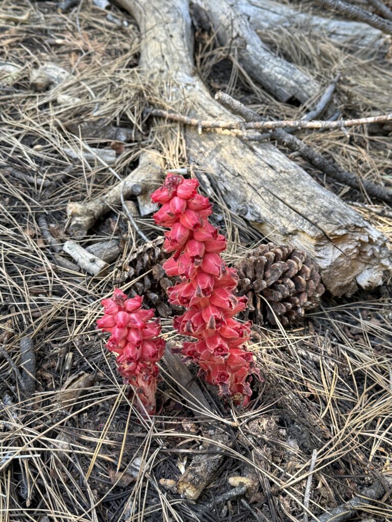
Snow Plant near trail
Camp for night three
DAY 4
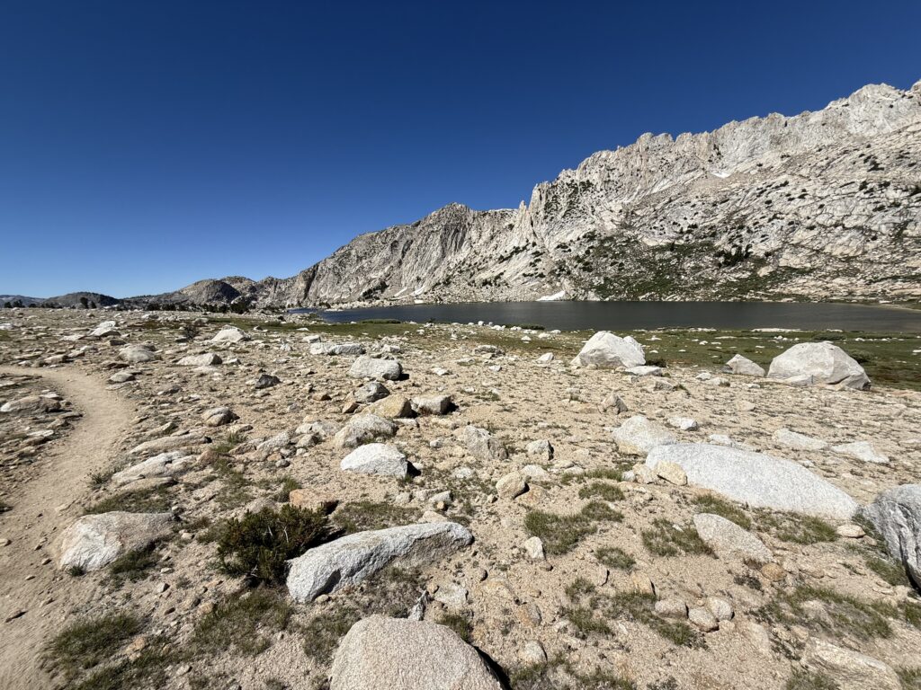
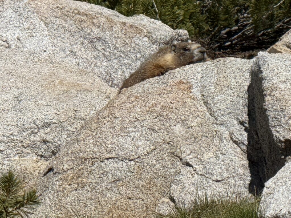
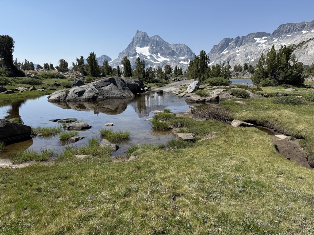
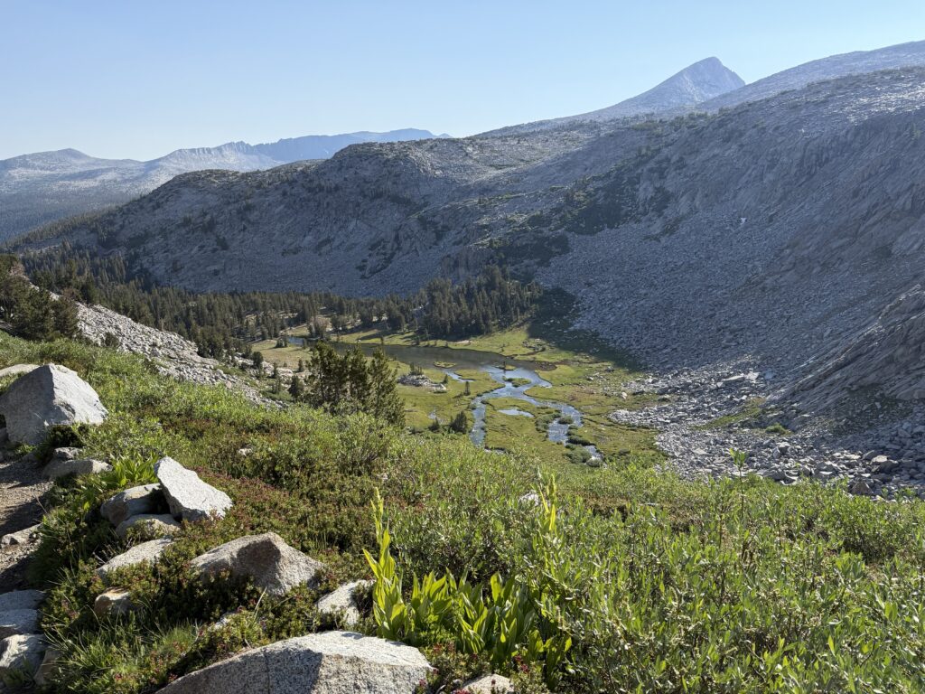
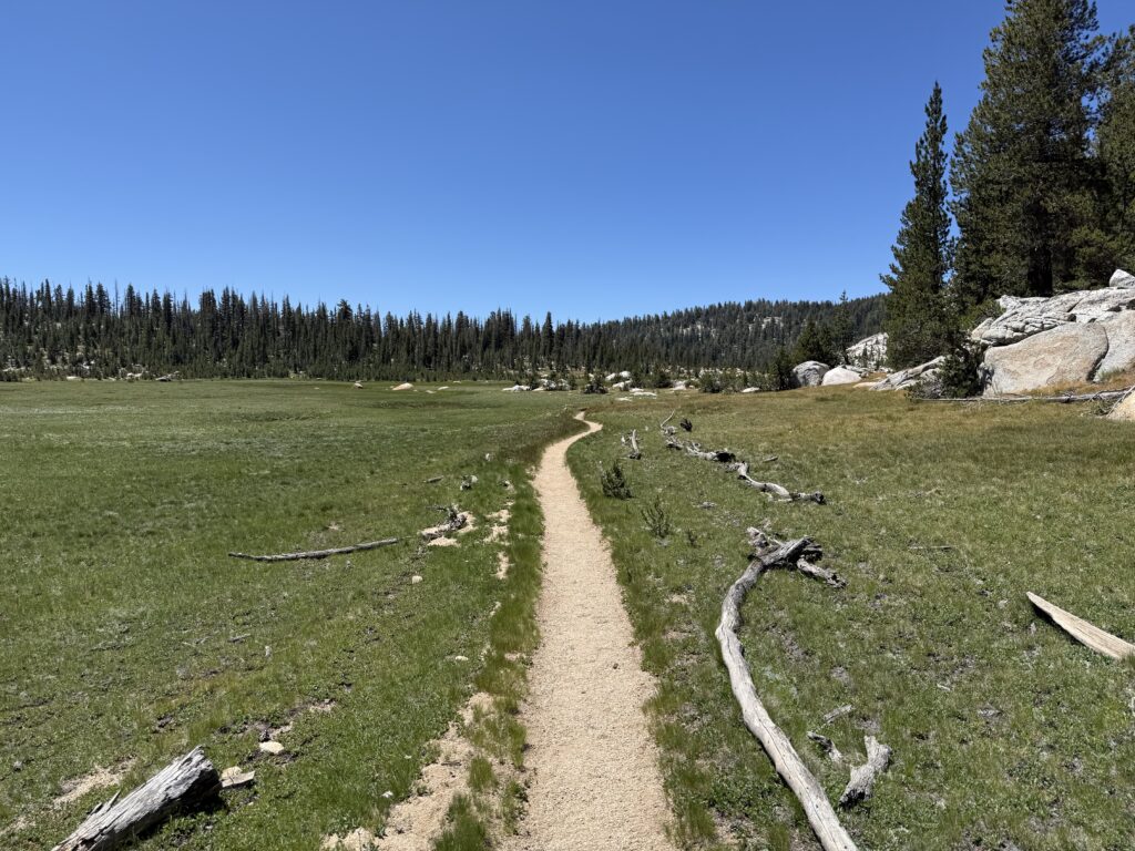
The sun took a while to peek over the mountains across the valley and provide some warmth to us. It was fun to watch the light progress down the mountain face on our side and anticipate its arrival at our location. The trail started out relatively flat, passing through meadows and trees along the creek. As we got a bit over the 10,000’ elevation point, the landscape changed dramatically; fewer trees and large open meadows with bubbling brooks from the snowmelt. It reminded me of some childhood experiences in the Swiss Alps. This area was the most beautiful thus far (that’s saying a lot!) as I love the high altitude mountain landscape. A little more than 2 miles in for the day and we passed Silver Pass Lake where we spotted some marmots at play. We stopped at a small brook for a snack and to pump some water. A bit over a half mile more and we reached the top of Silver Pass at 10,754’. A fairly steep descent down the other side brought us to Chief Lake where we made our lunch stop. The descent continued after that point past several alpine lakes, each beautiful in its own way, and eventually down into Cascade Valley. We continued upstream along Fish Creek towards Tully Hole in search of a camp site for the night. Just short of Tully Hole we found a camp among the trees and near the creek. This camp was the first where I didn’t have a cell signal and got to try out using the satellite texting feature of the iPhone (works marginally, at best).
Camp view after sunrise
Getting to the tree line at 10,000'
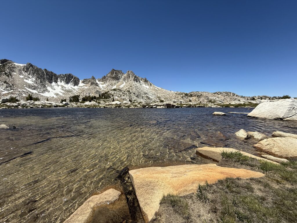
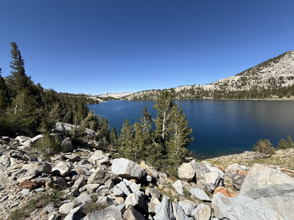
Silver Pass Lake
Marmot catching some sun near Silver Pass Lake
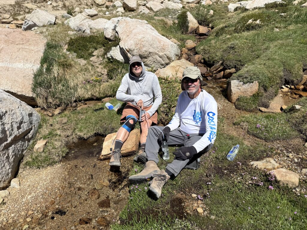
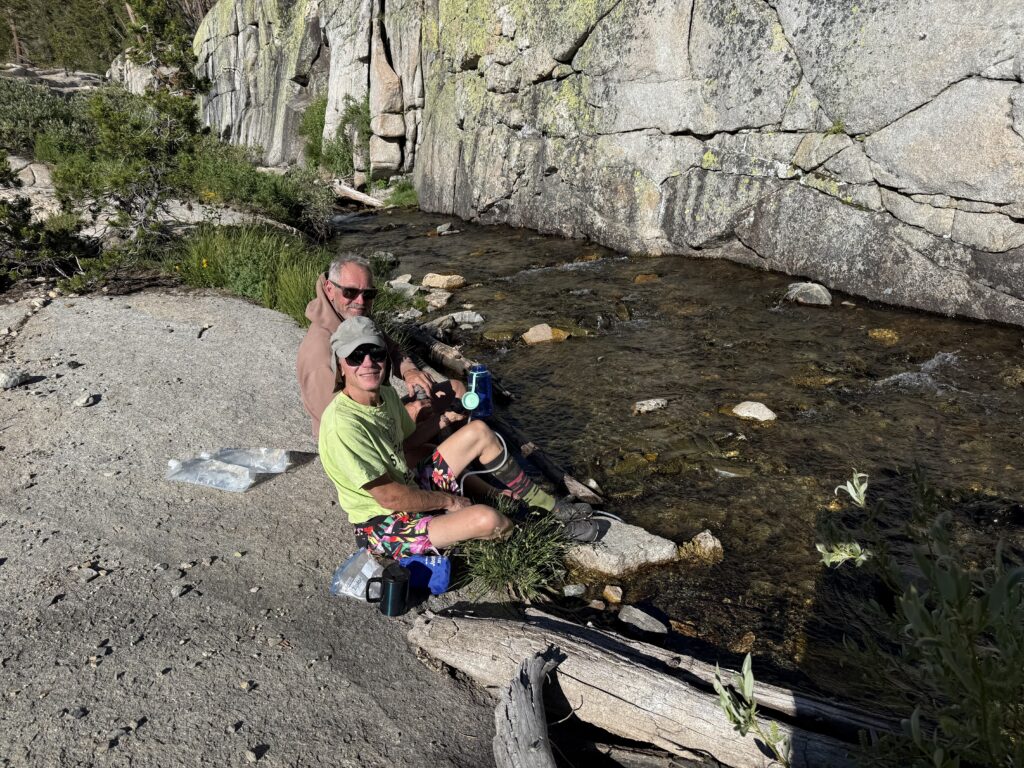
Jon and Curtis pumping water at our snack break
At the Silver Pass summit
Lunch spot at Chief Lake
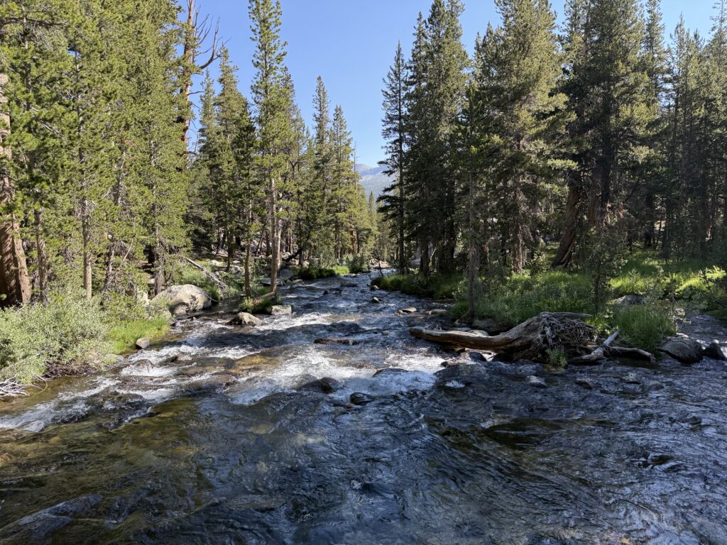
Fish Creek near our camp for night four
DAY 5
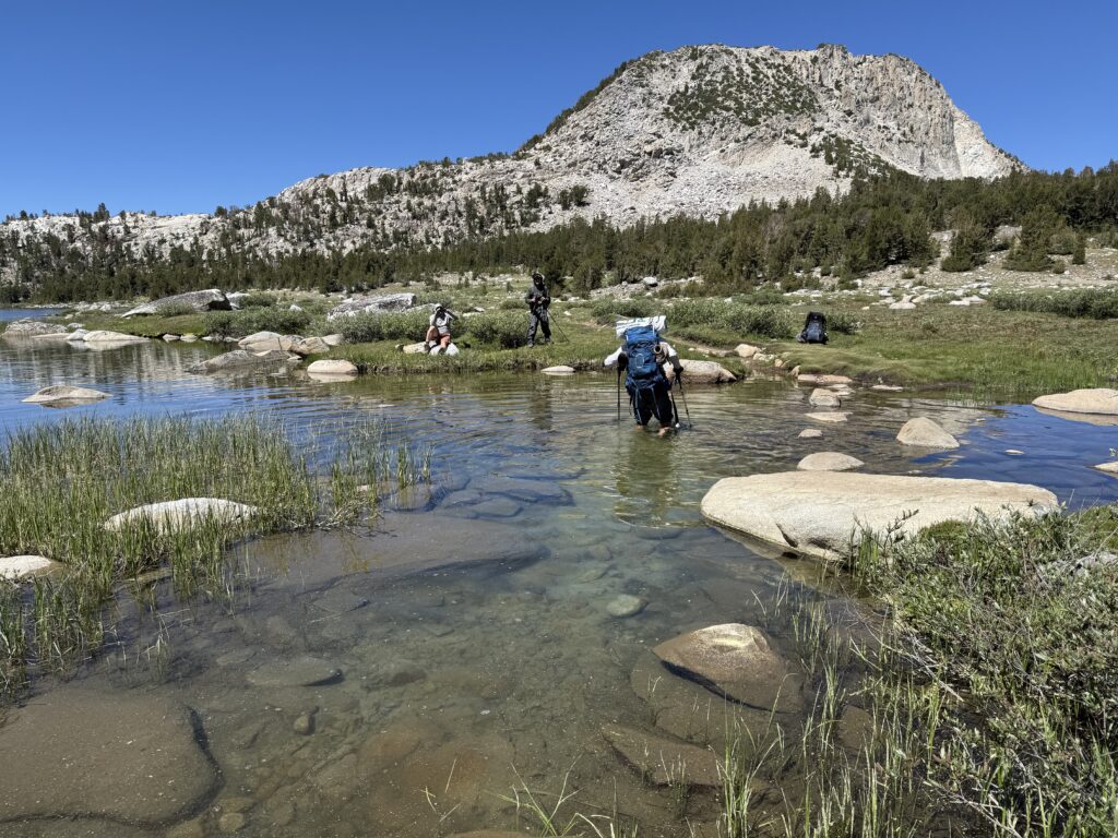
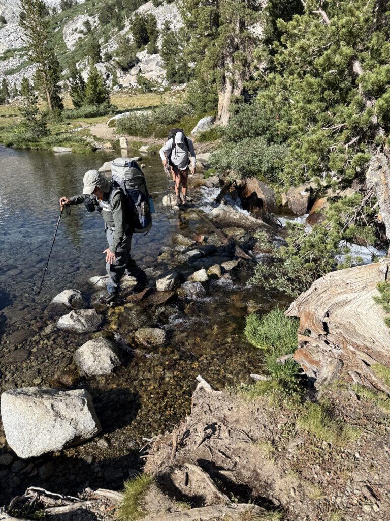
We left camp at 8:40am and, after a short, level stretch along Fish Creek to Tully Hole, started the climb up to Lake Virginia. It was a steep and hot climb, but the vistas kept getting better and better. The trail levels off and curves around the mountain before dropping down a bit to Lake Virginia. This lake was another spectacular alpine lake backdropped by beautiful mountains. At the lake we, had to make two water crossings that required doffing our boots and putting on our water shoes to wade through the thigh deep water. It was very refreshing for the feet! After a brief snack and a change back into boots we continued on. Another climb and descent brought us to Purple Lake. That provided us with our lunch stop for the day. We discussed our options for the next days as we had some distance to cover before Reds Meadow where we wanted to be by the end of the day tomorrow. We decided to hike as far as the Duck Pass Trail and then have a longer way to go tomorrow. We set up camp a short distance past the Duck Pass Trail in a meadow that bordered the creek flowing out of Duck Lake. The creek, albeit chilly, made for a welcome refreshing bath.
View across valley above Tully Hole
Lake Virginia
Water crossing at Lake Virginia
Lunch at Purple Lake
Curtis and Jim pumping water and cooling feet in the creek
Camp for night five
DAY 6
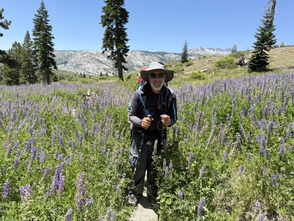
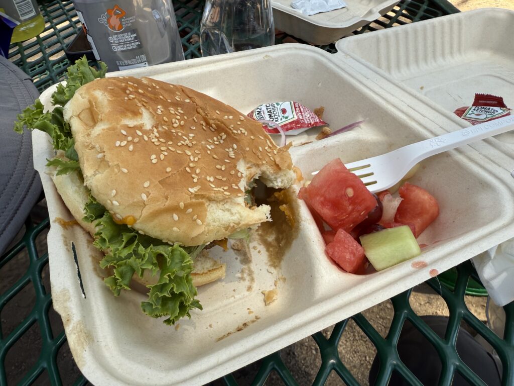
Because we wanted to make our day’s destination of Reds Meadow by early afternoon (a bit over 11 miles away), we hit the trail by 7am. That wasn’t easy as we had been woken twice during the night by neighboring campers, once because neighbors were having an argument and again because another neighbor was chasing a bear out of their camp. We never did see or hear the bear. As seems to be the theme for every day, the hike started out with a climb for a few miles, but, after that, it was a long steady and gradual descent down to Reds Meadow. A highlight was hiking through acres of chest-high blooming lupines. They were growing in area that was burned somewhat recently and devoid of trees. Beautiful regeneration of an ecosystem. We arrived in Reds Meadow at about 1pm and enjoyed a cheeseburger and milkshake for a late lunch. Those that needed it restocked from the items that Jon had left there before our trip and we all took advantage of the opportunity to shower under running hot water. The campground was crowded and dusty and I looked forward to getting back on the trail away from the crowds.
Early morning sun on the mountains
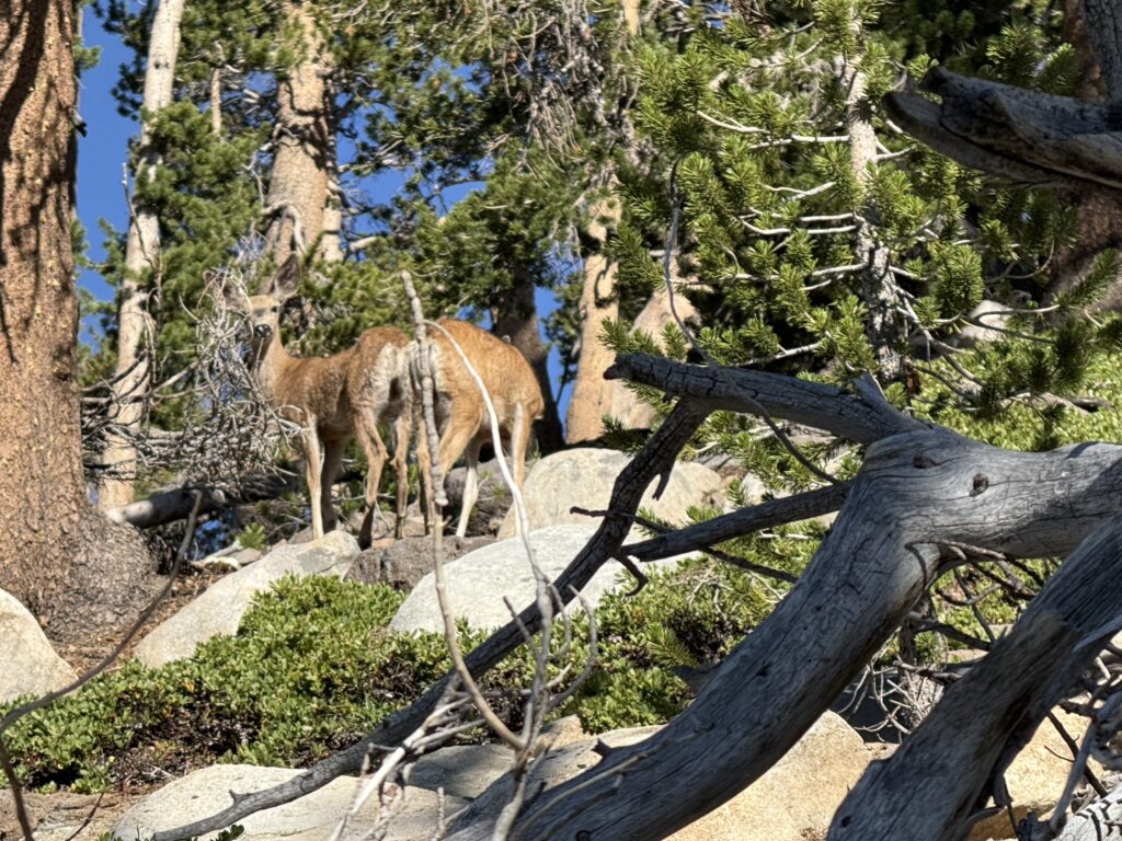
A couple of deer having breakfast
Hiking through acres of blooming Lupines
Cheeseburger in Reds Meadow
Night six camp
DAY 7
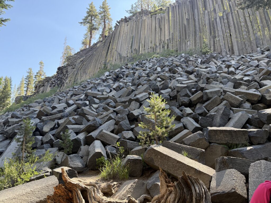
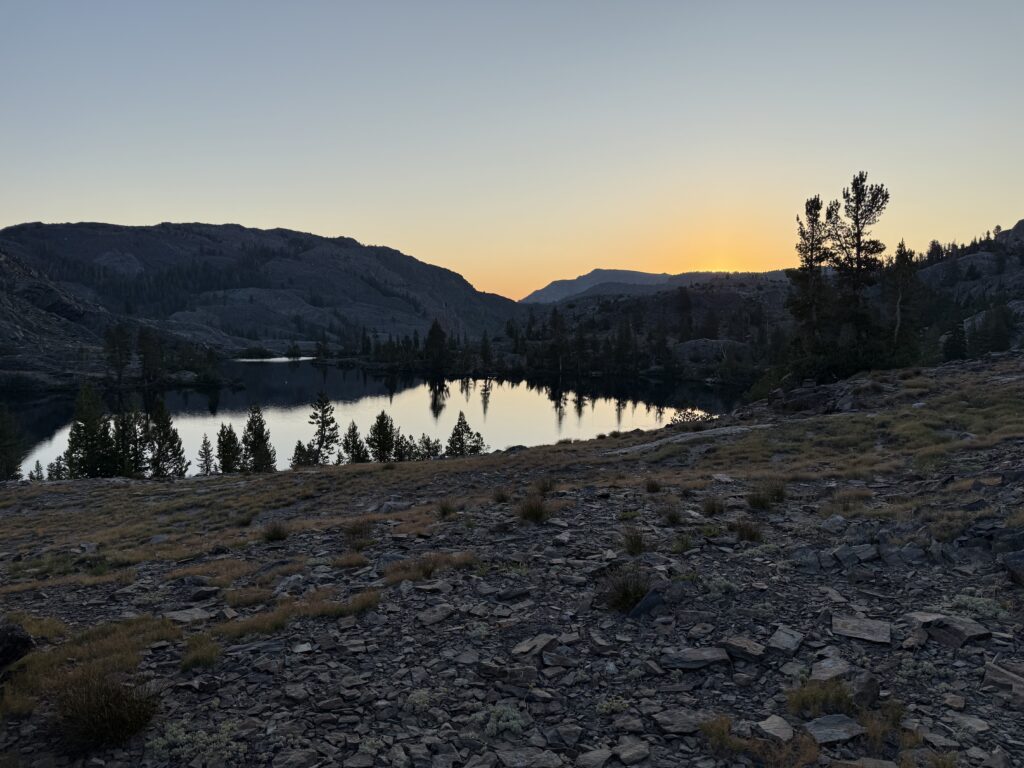
We got on the trail at about 9:40am and very soon took a wrong turn. Instead of following the JMT, we ended up hiking along a trail that goes through Devils Postpile National Monument. Fortunately, the trails reconnected after about a mile-and-a-half or so. The bonus was that we got to hike past the bottom of the Devils Postpile rock formation which is rather fascinating. Once we rejoined the JMT, the trail quickly turned into a steep ascent for about 6 miles. The trees opened enough to get some nice views of the Minarettes. A short lunch stop at the top preceded the descent first to Gladys Lake and then to Rosalie Lake. We made our camp at the latter. A quick swim in the gorgeous alpine lake was refreshing. I enjoyed lakefront dining at dinner. This was definitely one of the better camps thus far.
Only 57 miles to go!
Devils Postpile
On the edge of Devils Postpile NM
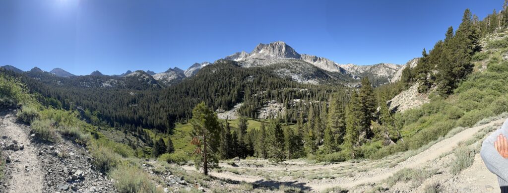
Minarettes visible through the trees
Gladys Lake
Night seven camp
Sunset on Rosalie Lake
DAY 8
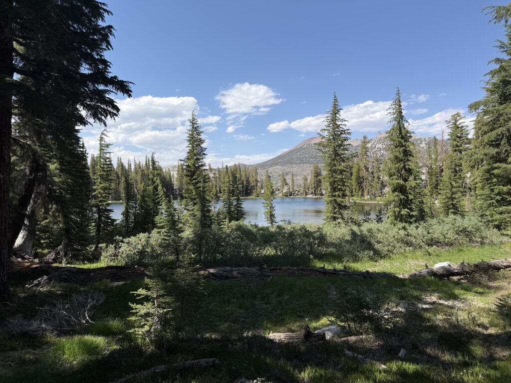
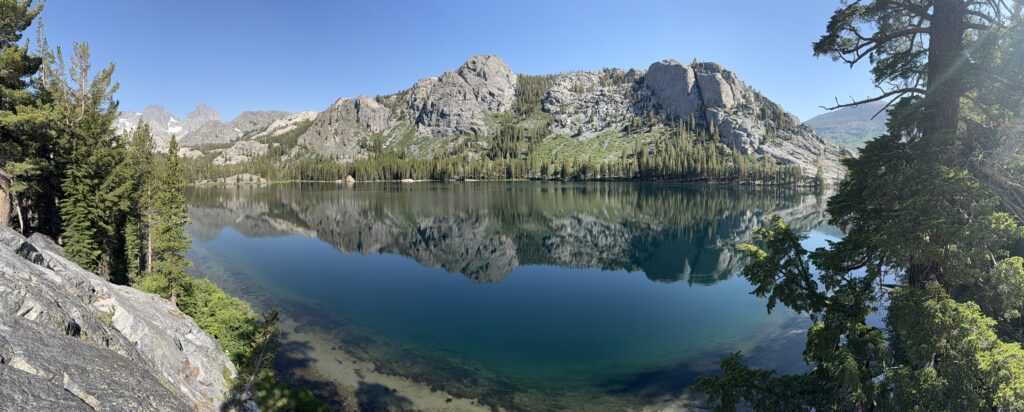
A nice start to the day was sitting by the lake, drinking coffee and eating breakfast while watching the sunlight slowly make its way down the mountain and across the lake. We hit the trail by 8:40am and had a short climb followed by a long drop down to Shadow Lake. From there it was about 5 miles of climbing, sometimes strenuous. We crested a pass at over 10,000’ that offered incredible views in all directions. A short rest stop at a small unnamed lake just below the pass was very pleasant. The trail dropped considerably down to Garnet Lake where we stopped to cool our feet where the water flows out of the lake. This spot provided nice views of Mount Ritter and Banner Peak at the far end of the lake. We continued on a longer climb than anticipated until we crossed another pass over 10,000’. The trail then dropped past Ruby Lake to Emerald Lake where we made camp. Emerald Lake seemed warmer and offered better swimming than what we experienced at Rosalie Lake.
Sunrise on Rosalie Lake
Shadow Lake
Views with unnamed lake
Rest stop at unnamed lake
Garnet Lake with Mount Ritter and Banner Peak
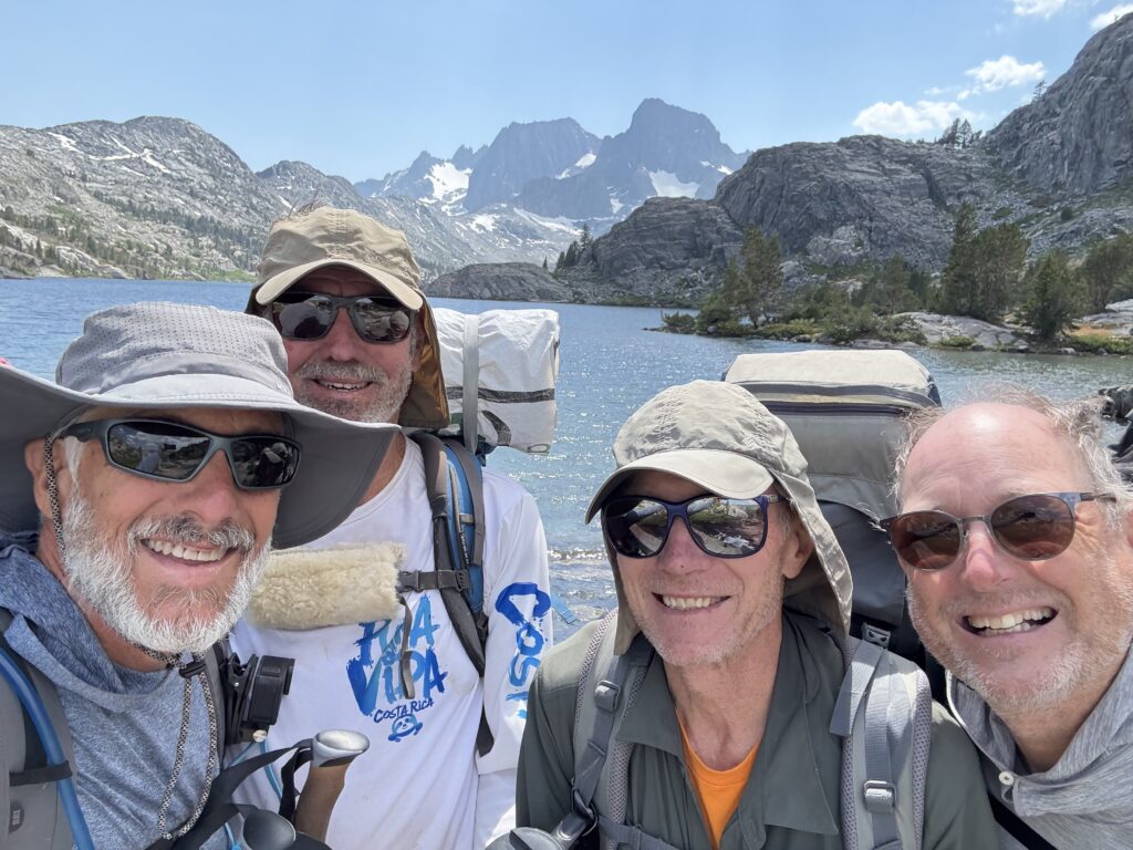
The gang at Garnet Lake
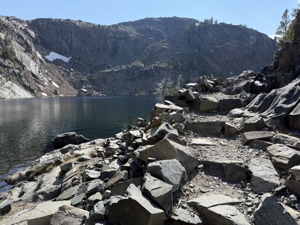
Trail past Ruby Lake
Emerald Lake
Camp for night eight
DAY 9
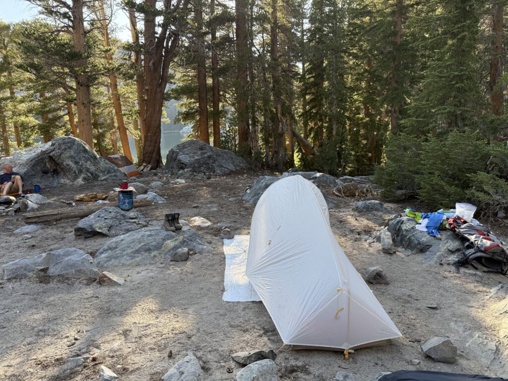
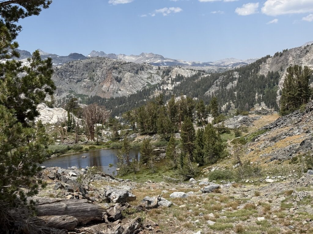
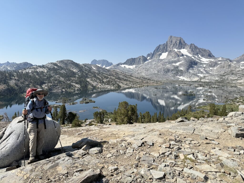
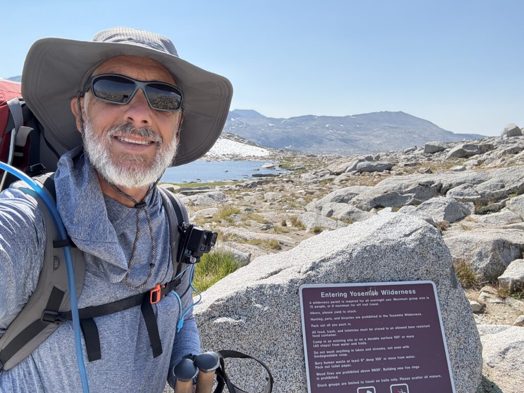
The day started with enjoying a cup of coffee watching the sun rise over Emerald Lake. We got underway at about 9am, dropping down a little to pass Thousand Island Lake. This is where the JMT and the Pacific Crest Trail (PCT) rejoin going north and so it was rather busy with other people. The trail then climbed about 400’ over Island Pass constantly offering great views. We lost about 550’ as the trail went through a forest with several stream crossings. Then the climb began to Donohue Pass. The trail emerged from the forest and traversed mountain meadows with bubbling brooks. A stop at one ended up with us cooling our feet in it. As the climb continued, the trail became rockier and a bit challenging, but mostly not too steep. The high elevation was noticeable. We passed through a small patch of snow and finally reached the summit at 11,073’, the highest point on our trek. A welcoming committee of about a half-dozen marmots was there as we entered Yosemite National Park. Another mile or so down from the pass we found our camp on a bluff overlooking a small lake to the west and Lyell Canyon to the north.
Sunrise over Emerald Lake
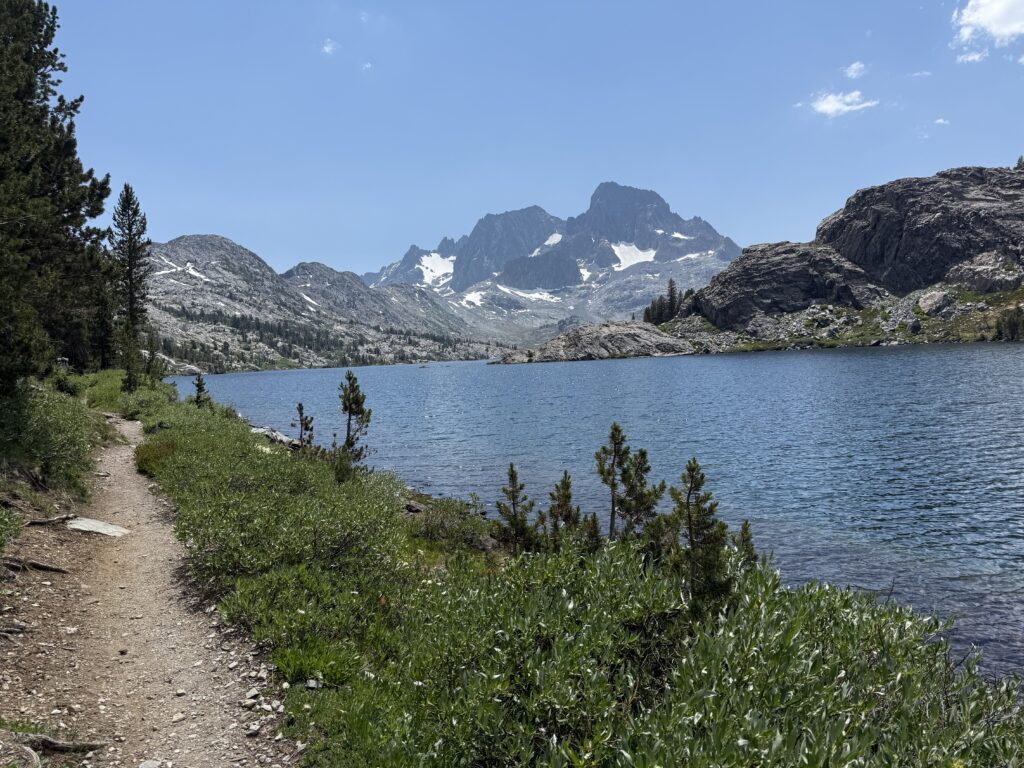
Thousand Island Lake
At the top of Island Pass
River crossing
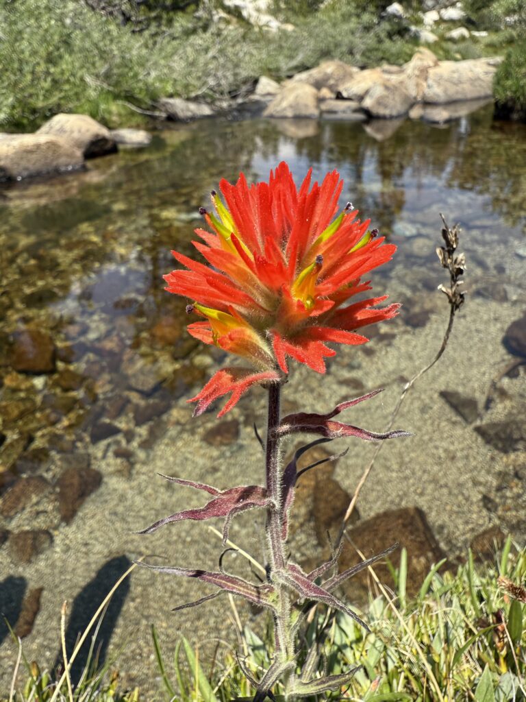
Indian Paintbrush along a babbling brook
Trail through meadow approaching Donahue Pass
Climbing up Donahue Pass
Donahue Pass welcoming committee
Entering Yosemite NP at Donahue Pass
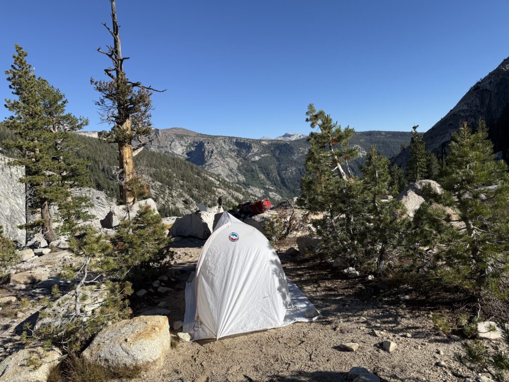
Campsite for night nine
DAY 10
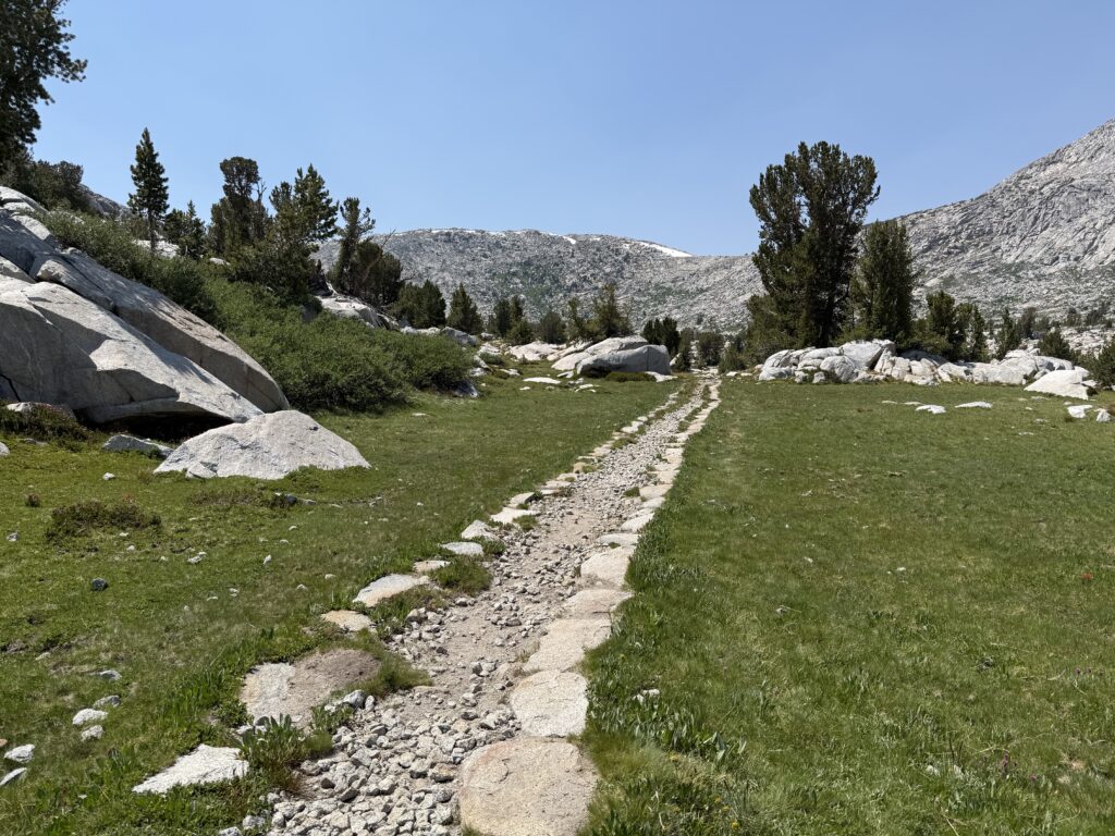
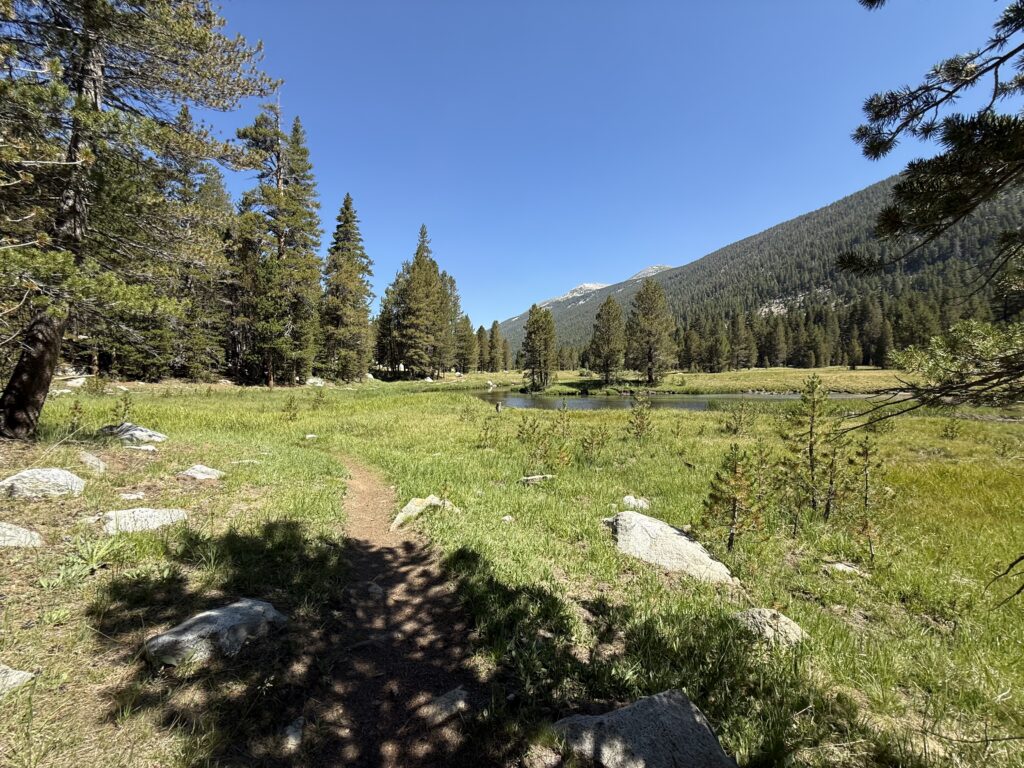
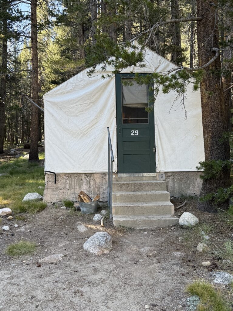
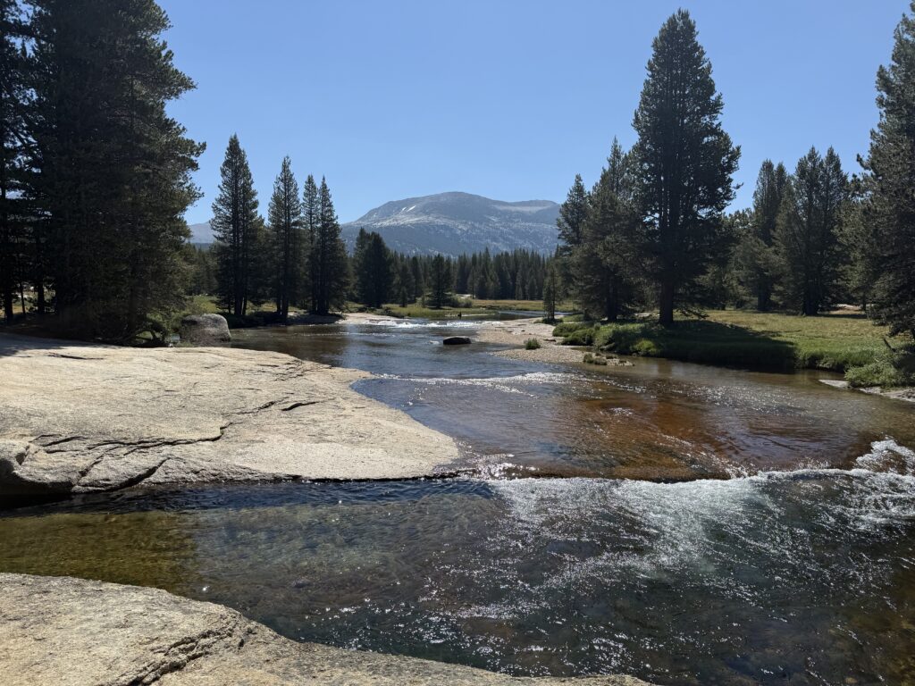
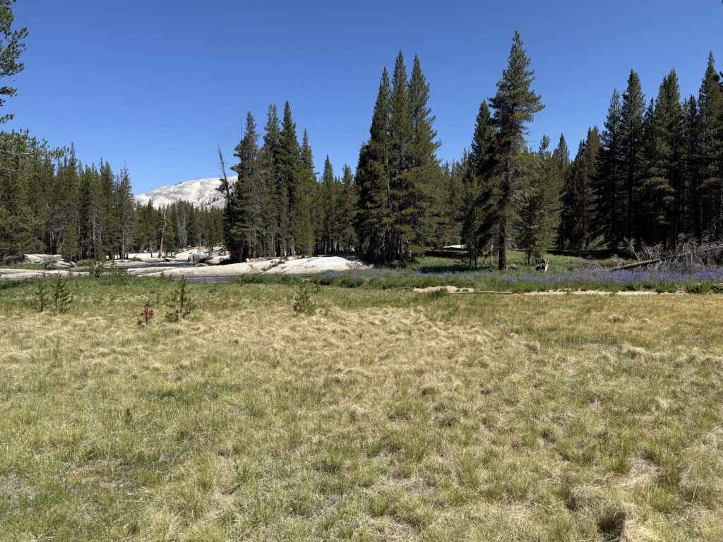
Today’s long descent to Tuolumne Meadows started with a short climb and then a few miles of very challenging and rather steep descent. Every foot placement needed to be evaluated for stability and rocks. At first the trail was in a forest but that eventually gave way to the meadows of Lyell Canyon. Add in the surrounding mountains and the river and it was a beautiful, serene setting. While it was a long hike (nearly 12 miles), it was relatively easy and went quickly. We arrived a Tuolumne Meadows Lodge by 3pm. Maureen met us there to join us for the remainder of the trek. Once we checked into our tent cabins, we took a very welcome shower and had a good meal in the restaurant.
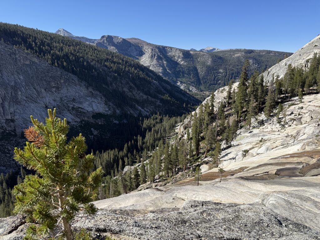
View of top of Lyell Canyon
River crossing in upper Lyell Canyon
Lyell Fork river
Rocky trail in upper Lyell Canyon
Peaceful meadow in Lyell Canyon
Tent cabin at Tuolumne Meadows Lodge for night ten
DAY 11
Because Jim volunteered to shuttle the car to Yosemite Valley and ride the hiker’s bus back, the rest of us were able to enjoy a leisurely morning with breakfast in the restaurant. We got underway and met Jim at the Visitor’s Center. From there the trail continued along Tioga Pass Road for a little before turning south and starting the climb to Cathedral Lakes. The climb was steep in parts but not too challenging. There were views of several domes and Cathedral Peak came into view as we neared the lakes. We continued past the trail to Lower Cathedral Lake and arrived at Upper Cathedral Lake. A nice camp was set up followed by a dip in the lake. After dinner a ranger came by to advise us we had to move the tents as we were too close to the water. The setting sun illuminating Cathedral Peak made for a beautiful end of the day.
Lyell Fork river near Tuolumne Meadows Lodge
Tuolumne Meadows
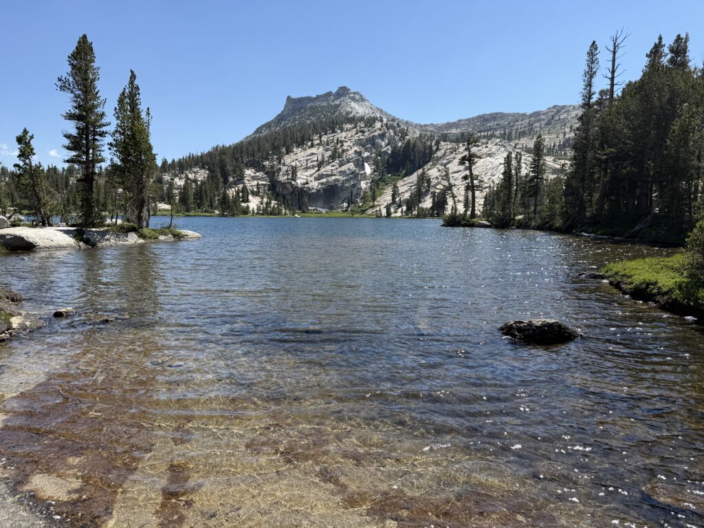
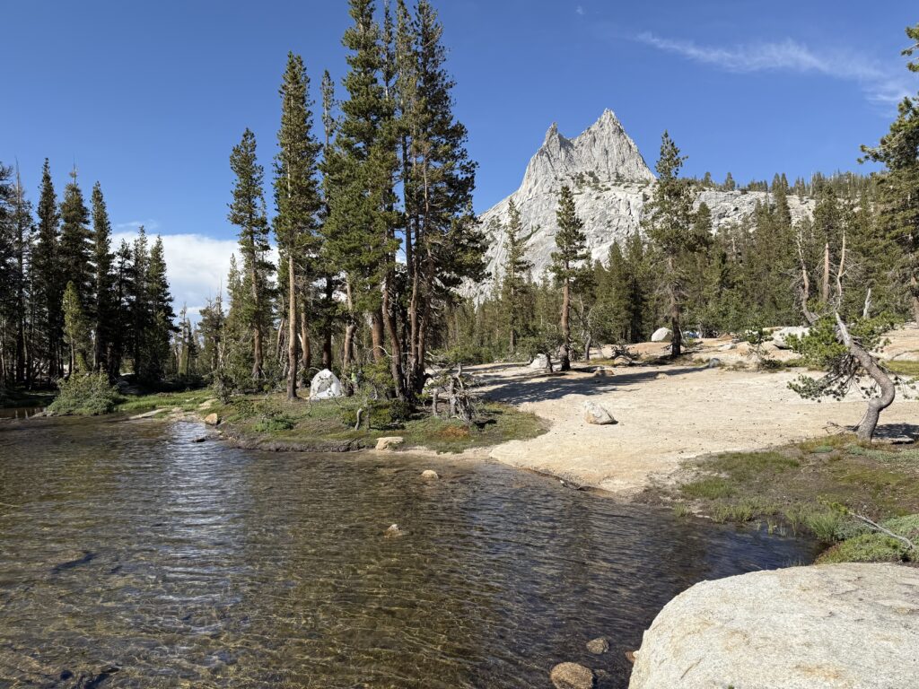
Upper Cathedral Lake
Upper Cathedral Lake with Cathedral Peak
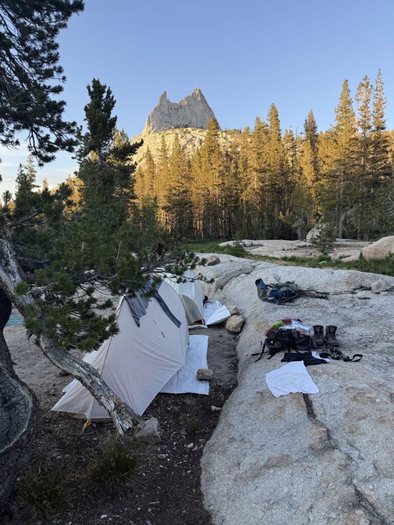
Night 11 camp with evening sun on Cathedral Peak
DAY 12
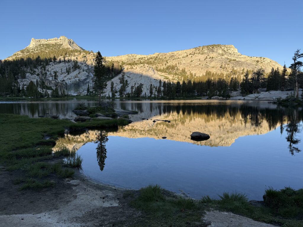
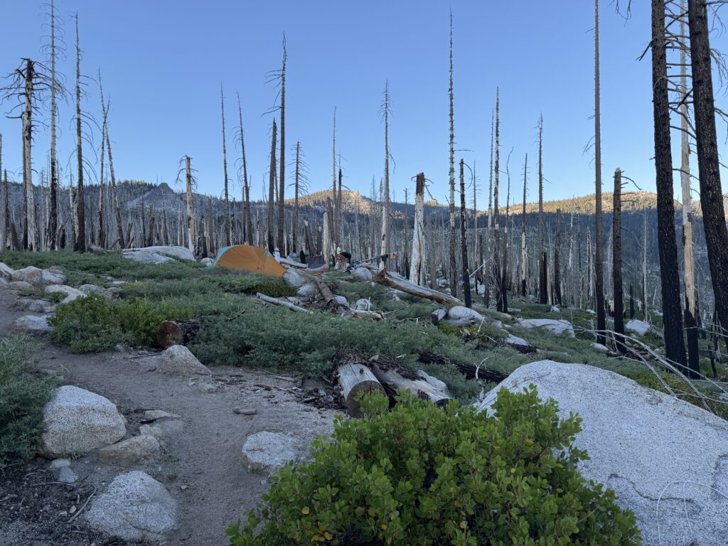
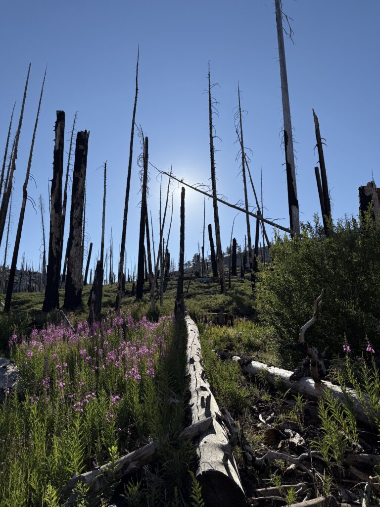
Another nice morning enjoying a cup of coffee while watching the sun rise over the lake. The end of the trek seems in reach now. We hit the trail and climbed up over Cathedral Pass. The trail opened up to an alpine meadow with spectacular mountain views. The trail then climbed again before dropping off into the valley where Sunrise High Sierra Camp is located (closed for this year). We stopped for lunch there before continuing on. Another significant climb, albeit the last one of our journey, before the trail dropped through a forest that eventually was a burn scar from a previous wildfire. The charred, dead tree trunks looked like ghosts of the past. We found our last campsite near a creek in the burned area. That made for a dusty with charcoal camp but offered nice views.
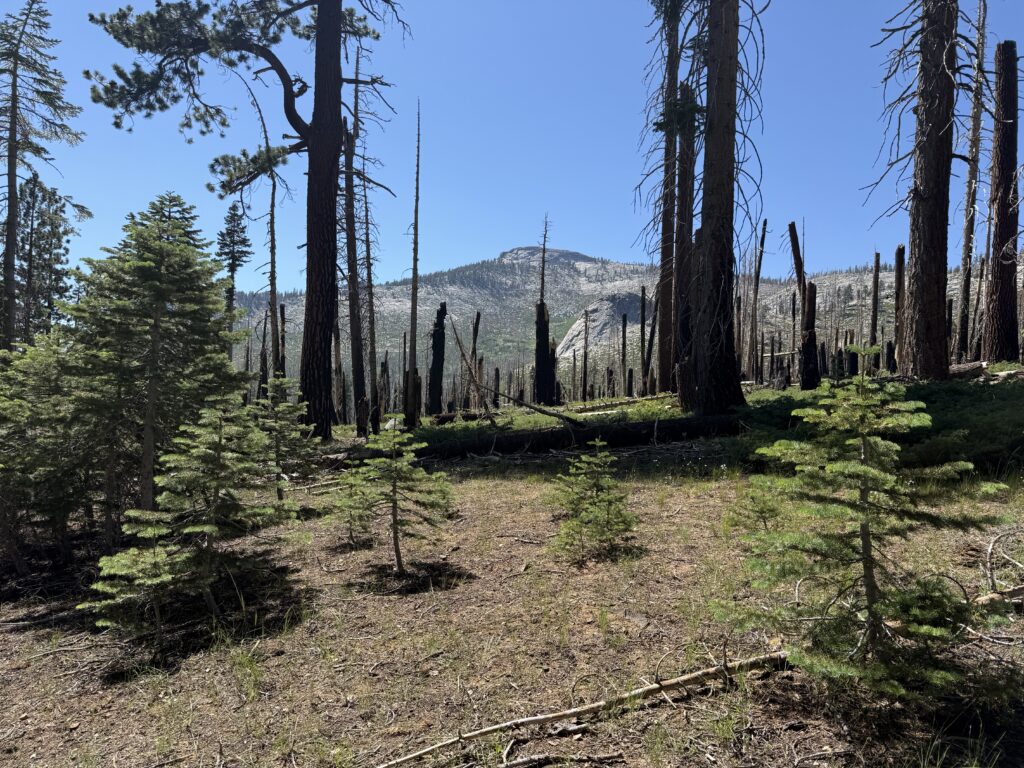
Sunrise at Upper Cathedral Lake
Cresting over Cathedral Pass
View of Sierras to the south just past Cathedral Pass
Long Meadow near Sunrise High Sierra Camp
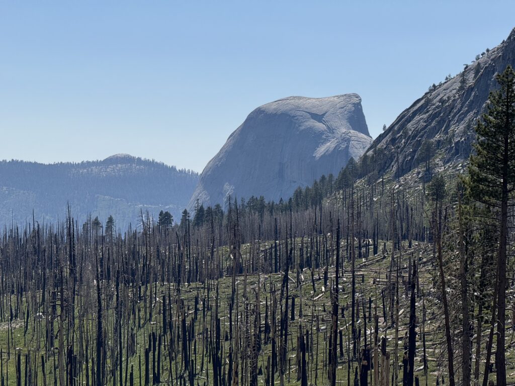
Entering burn area (Clouds Rest in background)
Half Dome from burn area
Night 12 camp
DAY 13
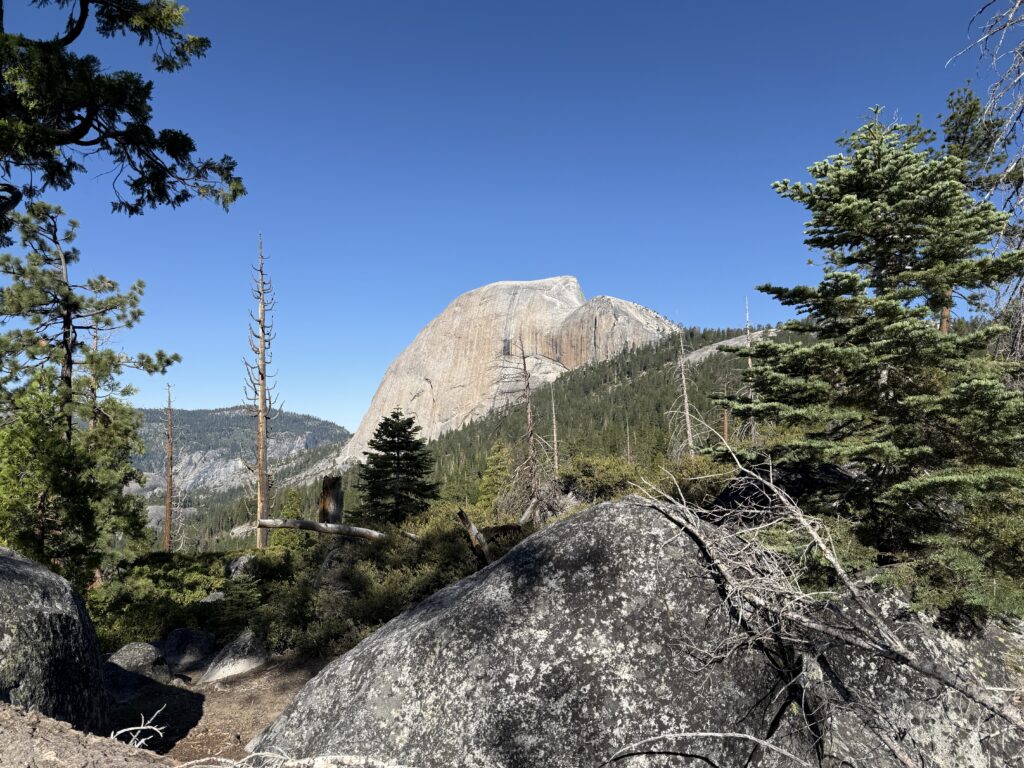
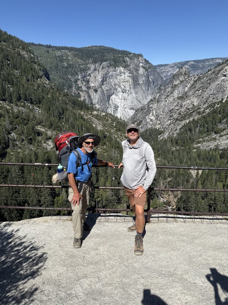
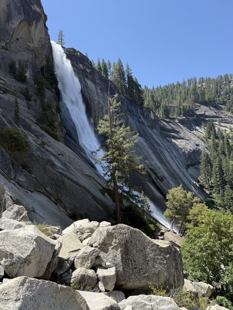
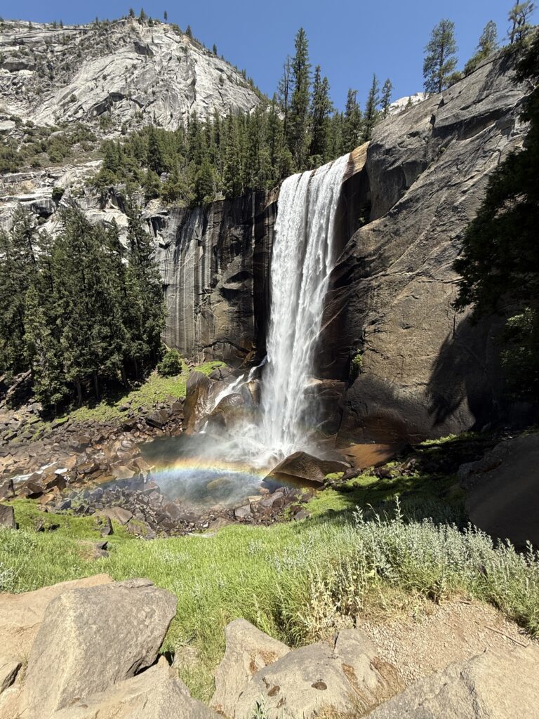
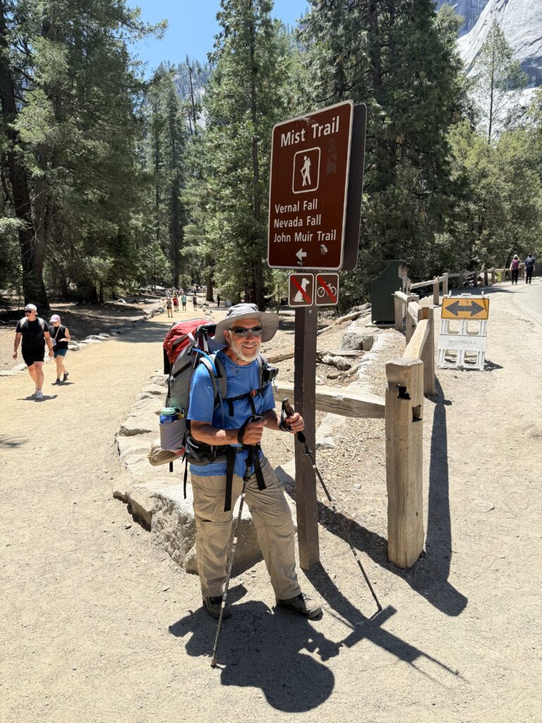
The trail continued its descent into Little Yosemite Valley finally entering an unburned forest after a few miles. This offered an image of what the burned area may have looked like before the fire. While the fire was clearly devastating to the landscape, it was encouraging to see the slow regrowth of the ecosystem. Views of Half Dome appeared and then we reached the fork where the trail climbs up to Half Dome a mere 2 miles away; we headed in the direction of Yosemite Valley. After that intersection we encountered many people making the trek to the top of Half Dome. We descended through Little Yosemite Valley to the top of Nevada Falls for a break. Spectacular views and a wonderful waterfall as always, although very crowded with people making the day hike to the top of the falls. We continued down the Mist Trail as it is the shorter route to the valley floor. This was extremely crowded and often required waiting for people to pass in the opposing direction on the narrow steps. We finally reached Happy Isles and the end of our journey. Pizza and beer at Curry Village were in order before the long drive back to Arnold and then home.