Number of BMW sedans seen driving on off-road trails: 1 🙄
Off-Roading Day
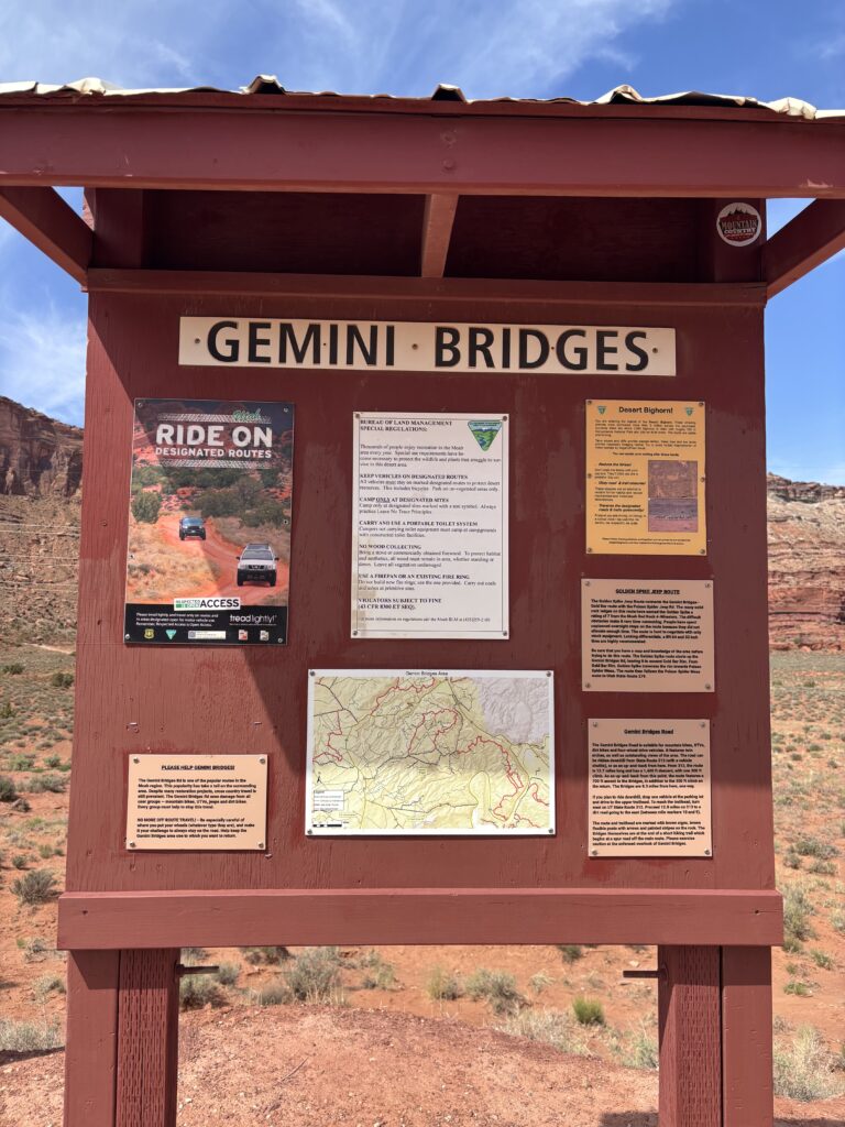
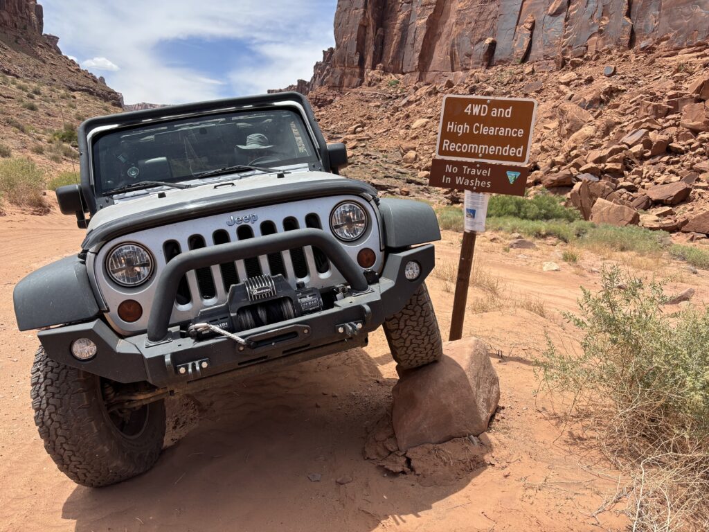
Moab is considered by many off-road enthusiasts to be somewhat of a mecca. The area is well known for its extensive trails open for those who enjoy getting off the beaten path. The trails range in difficulty from very easy (flat, well maintained dirt road) to extremely difficult (steep angles, large rocks, and other obstacles). We selected two trails to drive on that were rated in the easy to moderate range. We opted out of the difficult ones with names like Metal Masher, Hells Revenge, and Steel Bender! Instead, we chose to do Gemini Bridges first, followed by Long Canyon.
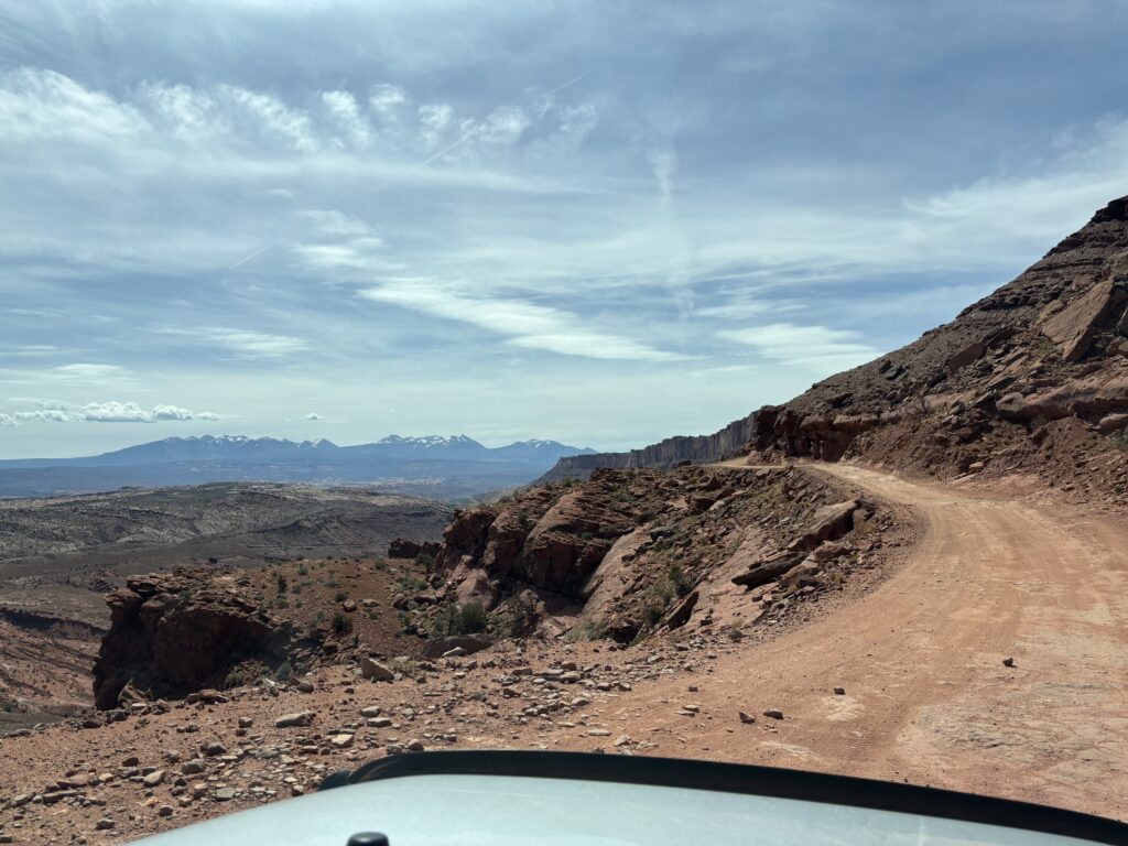
We headed north out of Moab and turned off the highway at the entrance to Gemini Bridges. The trail starts out relatively easy but soon becomes a shelf road with a significant drop to the east. The road was quite rough in this section.
Shelf Road on Gemini Bridges Trail
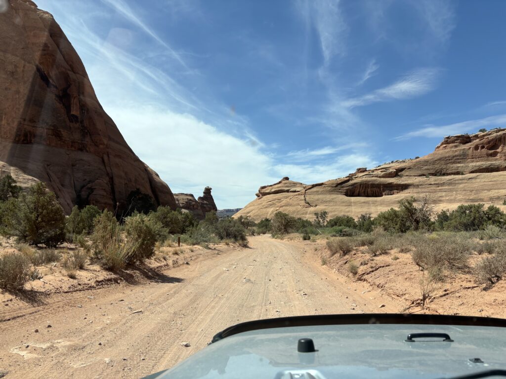
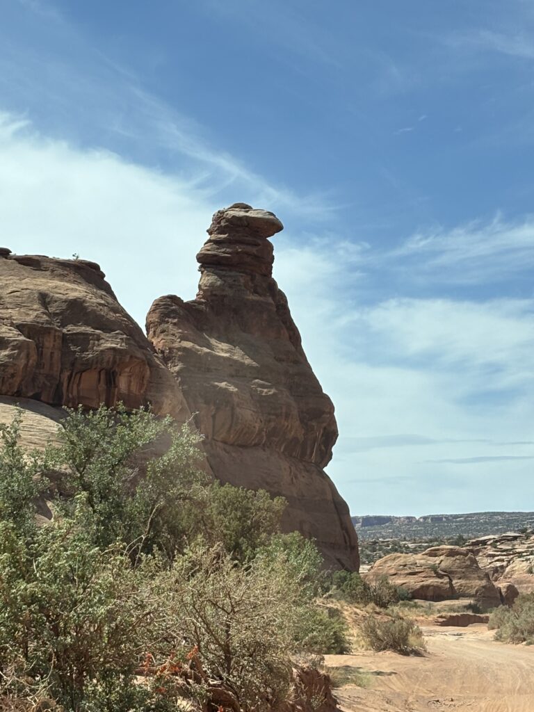
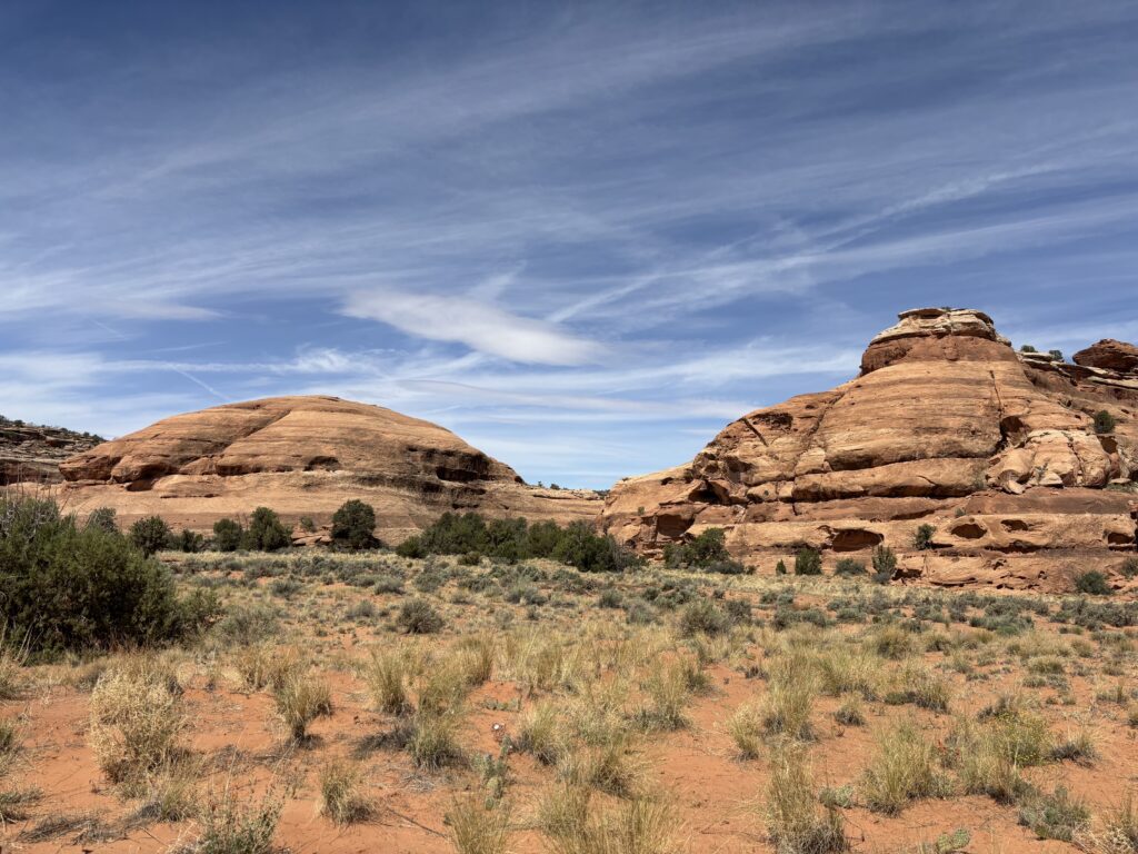
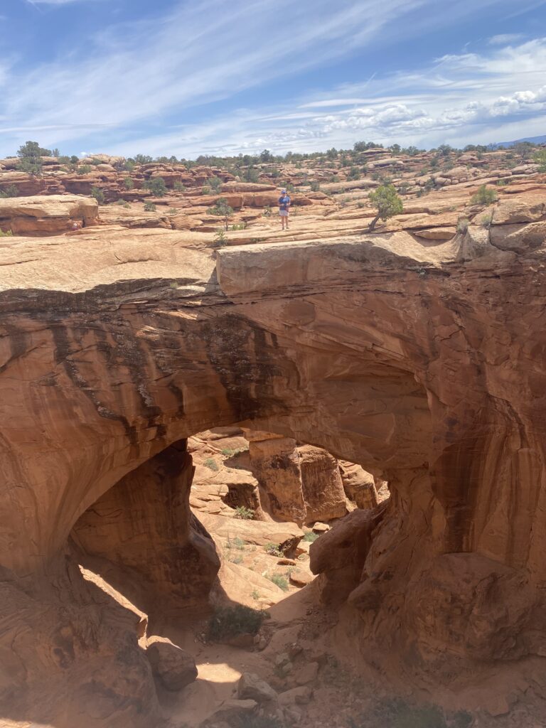
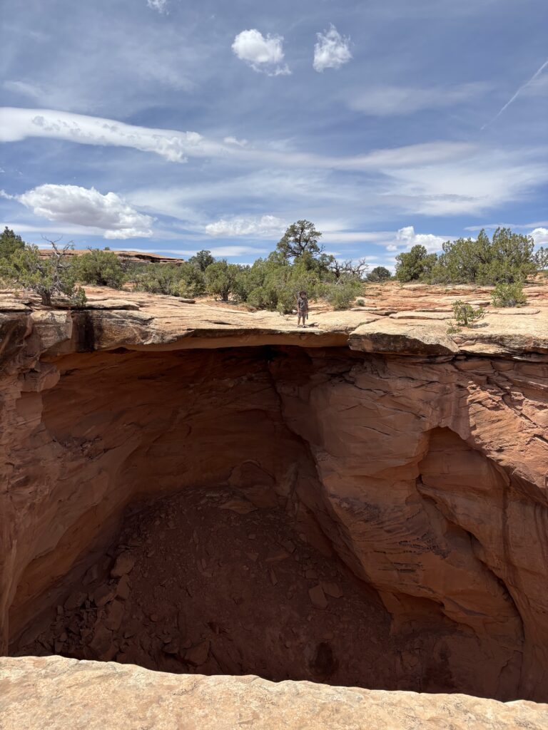
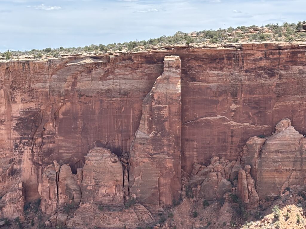
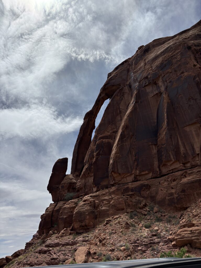
After arriving at a higher plateau, the road turns west to pass through a valley. A very pretty drive that passes by an interesting rock formation called Gooney Bird as it looks like one. The highlight of this trail is the stop at Gemini Bridges. A short walk takes one to the top of the parallel natural bridges. They are substantial enough to allow walking across. We also observed a natural arch (at the end of the day). Trivia Question for the Day: What is the difference between a natural bridge and a natural arch? Yup, you will find the answer at the end of the post.
End of Shelf Road
Gooney Bird
Along Gemini Bridges Trail
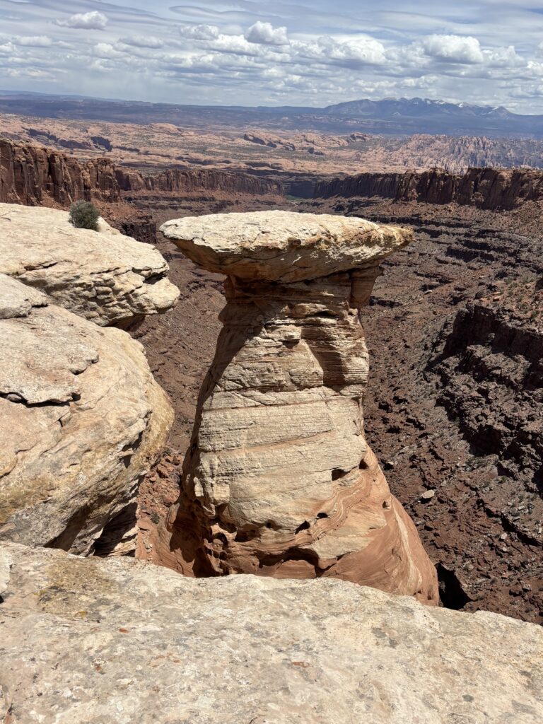
Gemini Bridges
View from Gemini Bridges
The road eventually climbs out of the valley and has some moderately difficult stretches of rough road and some climbing up slick rock. Eventually the road ends up on the paved road that leads into Canyonlands NP.
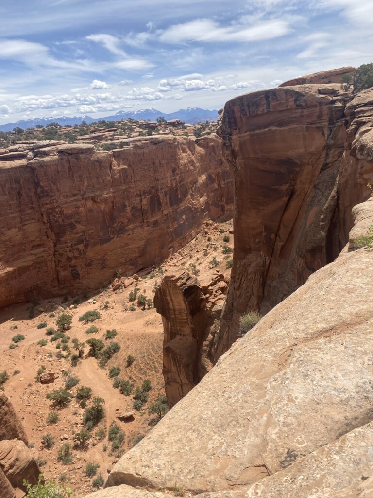
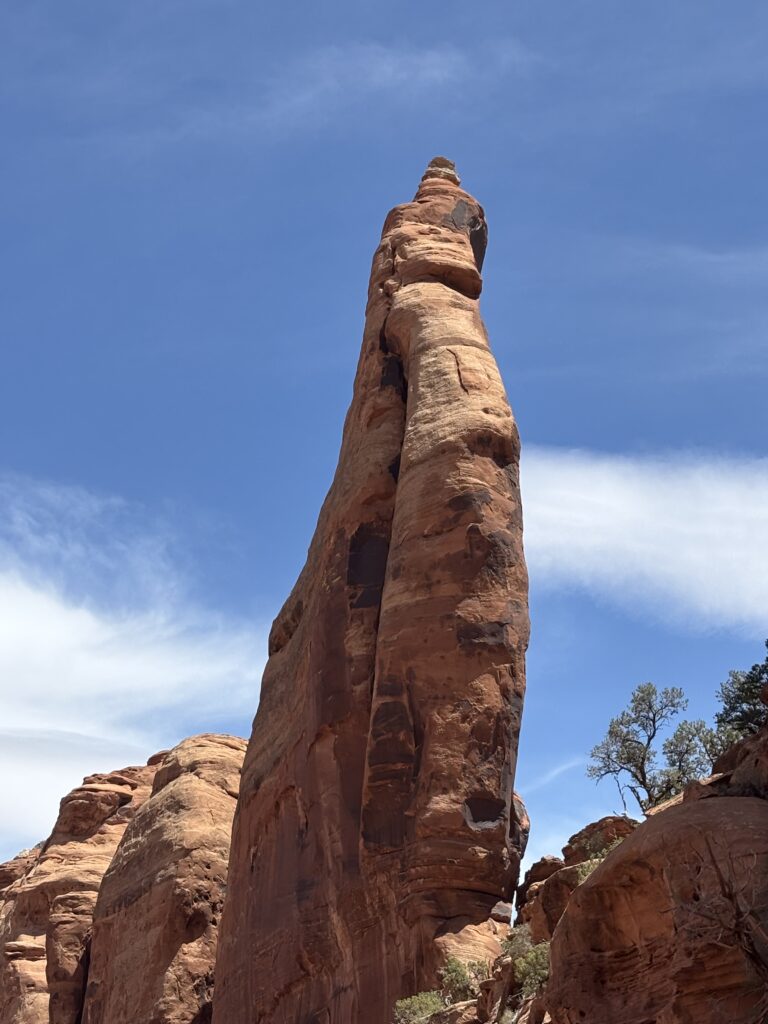
We then drove in the direction of Dead Horse Point State Park to get to the trail head for Long Canyon, our next run that will take us back down close to Moab. Long Canyon trail goes for several miles on the high plateau. We stopped to peek down into Long Canyon where we would eventually end up. Across the canyon was a rock spire that was lit by the sun in a way that it appeared to be a bridge. Take a look at the photo and see what you think!
Is it a spire or a bridge?
Interesting Roch Formation above Long Canyon
As the road drops down into Long Canyon it becomes rather narrow, rough, and steep. True fun for those that enjoy off-roading. Shortly after leaving the narrow portion of the canyon, the road goes under a large fallen rock. At first, it appears that there isn’t enough room to pass underneath, but there is plenty of space.
Rock Spire in Long Canyon
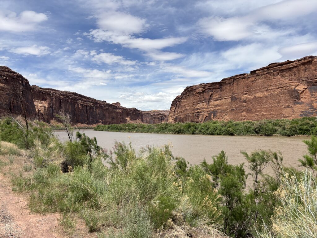
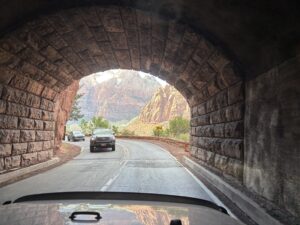
The road eventually drops down to the banks of the Colorado River and meets up with a paved road right at the Jug Handle Arch. We followed the river to the main highway and returned to town. A quick stop at the store for some popsicles before heading back to camp.
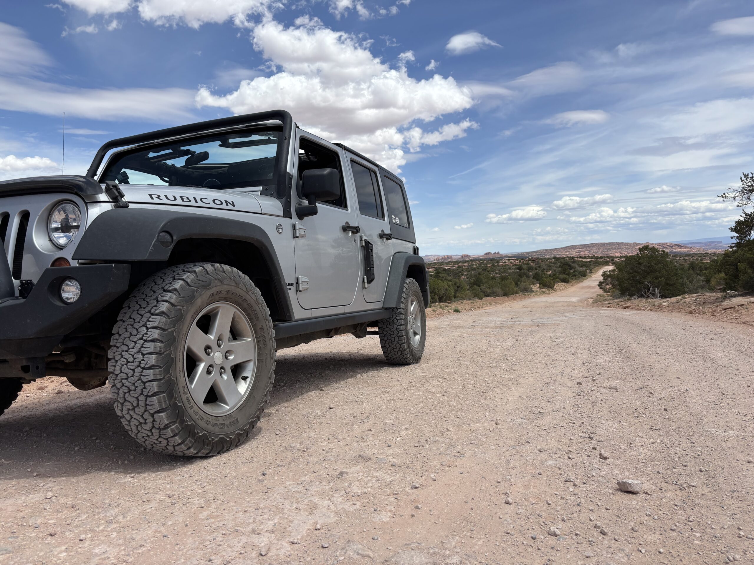
Trail End... Parked Like You Park a Jeep in Moab
Jug Handle Arch
Colorado River
Some much needed showers got most of the dust off us. The Jeep is another story…
Tomorrow we will spend the afternoon on the Colorado River on a rafting trip. Unfortunately, we booked this trip months ago and now see that the weather app says it is the only day here in Moab where rain is forecasted! I guess we will be getting wet either way…
Trivia Answer: Openings in rocks are called either arches or bridges. The difference between an arch and a natural bridge is in the method that formed the opening. Arches are caused by erosion of the underlying rock, which eventually results in a hole being formed. Natural bridges are caused by water flowing under the rock, also resulting in a hole (per BLM signage).


Love the jeep videos!! And that rock across the road…
Quotes of the day “Really?”, “Really“ 😂